Petrel mapping module by petrosys
Advanced presentation quality mapping
Overview
Petrel™ mapping module by Petrosys extends existing Petrel subsurface software mapping capabilities, enabling the editing and creation of high quality maps.
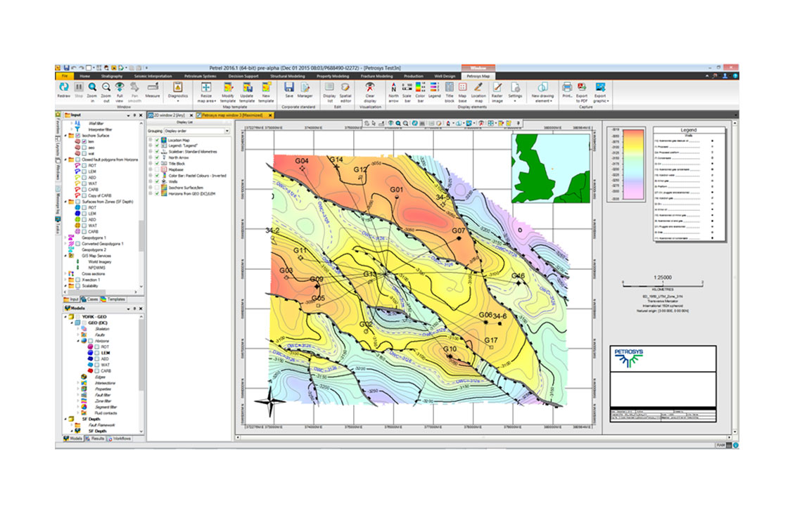
The Petrel Mapping Module by Petrosys map window is template driven, allowing for use of standard templates for company layouts.
Applications
- Flexible map legend, templates customized to meet organization standards
- Sophisticated over posting control Contour editing and clean-up
Benefits
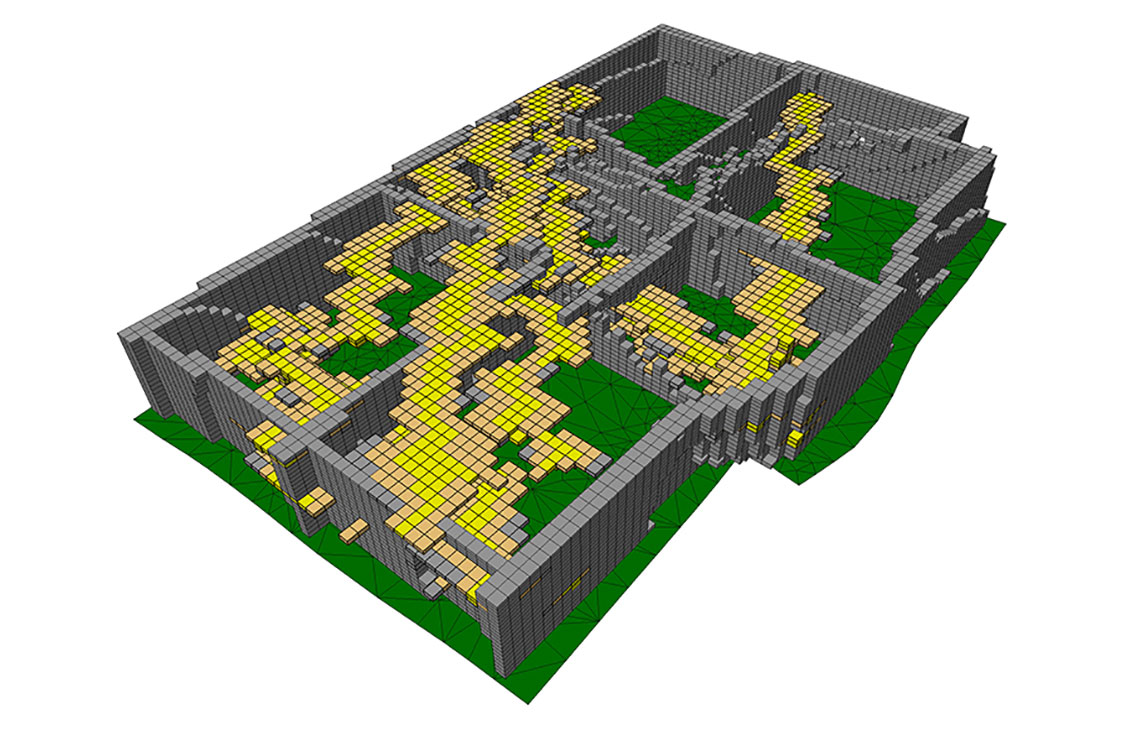
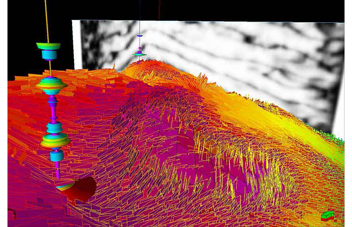
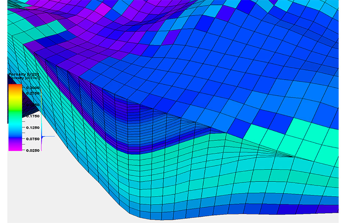
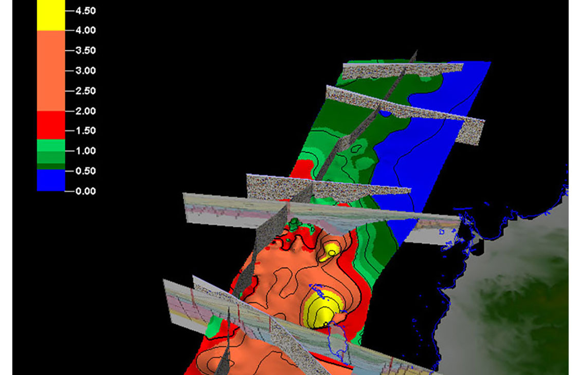
The Petrosys mapping window in Petrel produces high quality mapping output for printing, PDFs, or images for reports, and re-projection of 2D surfaces, 3D grid horizons, and seismic interpretation in any coordinate reference system.
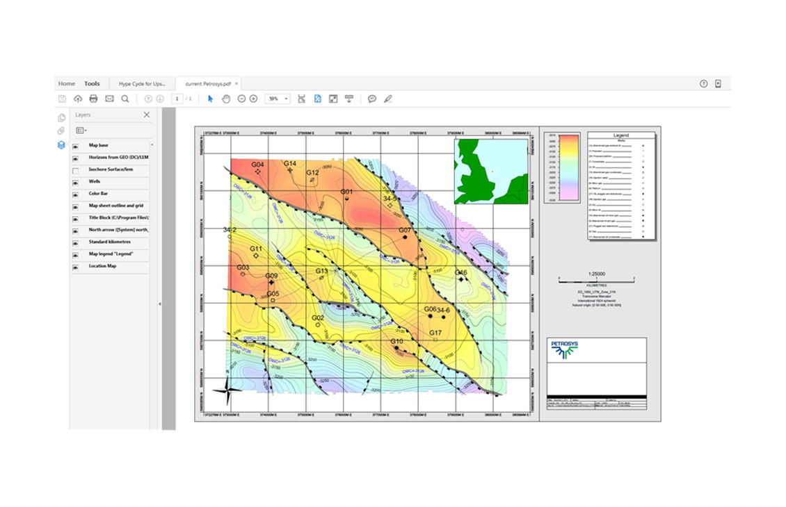
PDF outputs preserve the map layers from the original. The user can turn on and off different layers directly from the PDF viewer.
Features
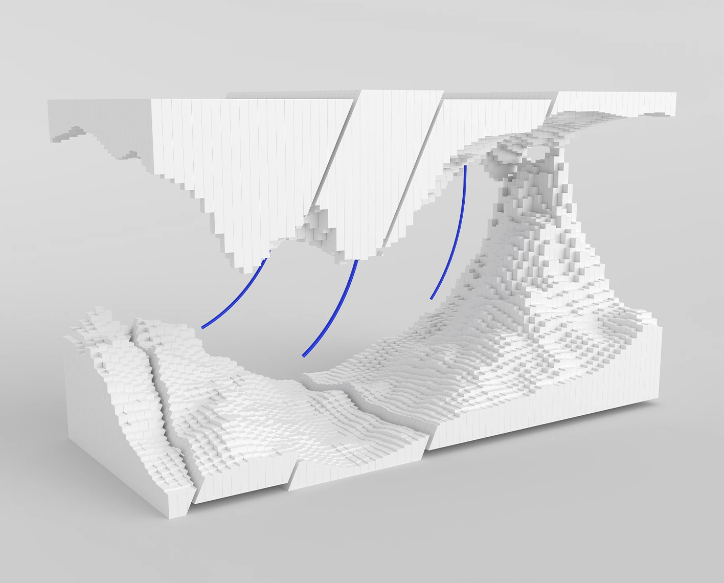
- Contouring up to faults together with fault direction indicators
- Fine control of fonts, color and line styles for all mapping elements
- Thematic mapping of culture data
Training

NExT Petrel training courses
NExT training courses address the unique needs of each learner. Our courses, led by distinguished experts in their fields, equip learners with the skills to address practical situations and resolve real-world challenges.
In this section
-
Petrel data analysis
Analyze any data from all angles
-

Petrel exploration geology
Evaluate petroleum systems from basin to prospect scale Enabling geoscientists to rapidly screen and evaluate basin and petroleum systems using both 1D and 3D modeling.
-
Petrel facies modeling
Build accurate facies models
-
Petrel fracture modeling
Create geologically consistent fracture models
-
Petrel mapping module by petrosys
Advanced presentation quality mappingAdvanced presentation quality mapping.
-
Petrel petrophysical modeling
Build accurate petrophysical models
-
Petrel play and prospect assessment
Achieving production objectives with full stochastic evaluation of exploration portfolios
-
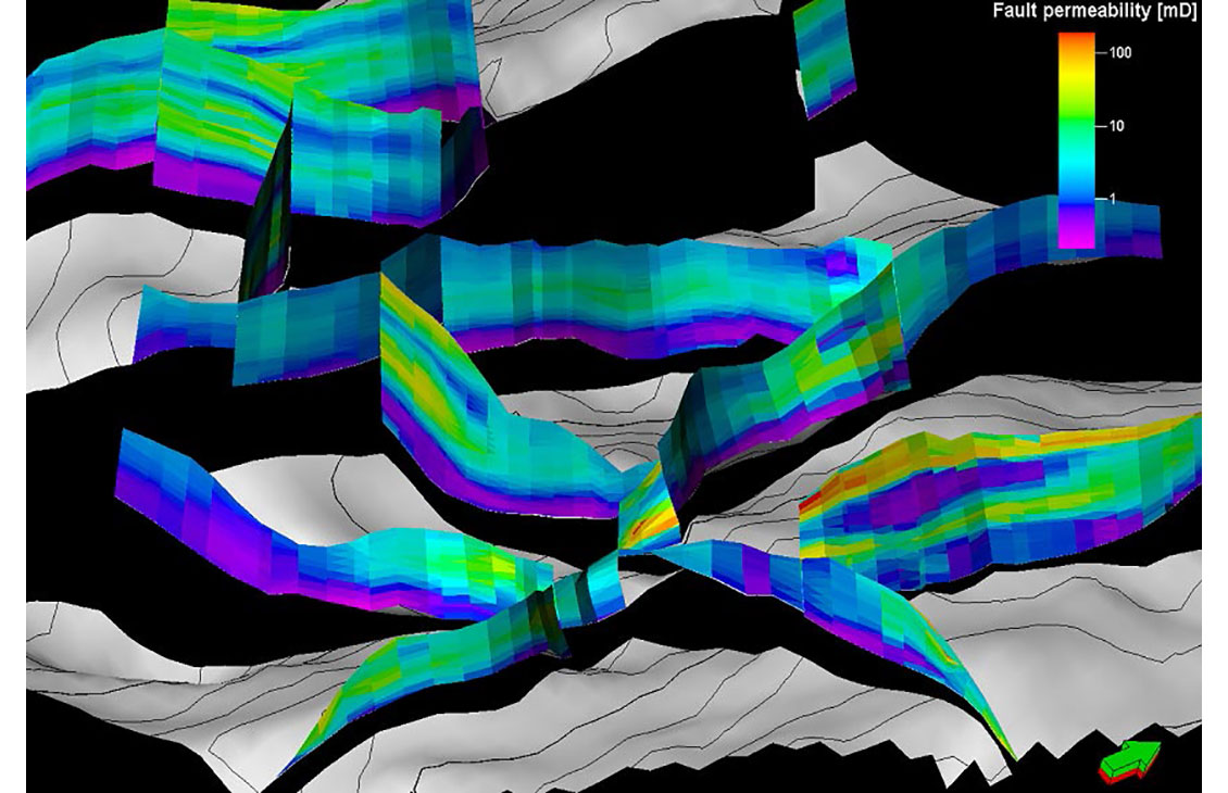
Petrel structural and fault analysis
Analysis of fault sealing capabilities and mapping QC tools
-
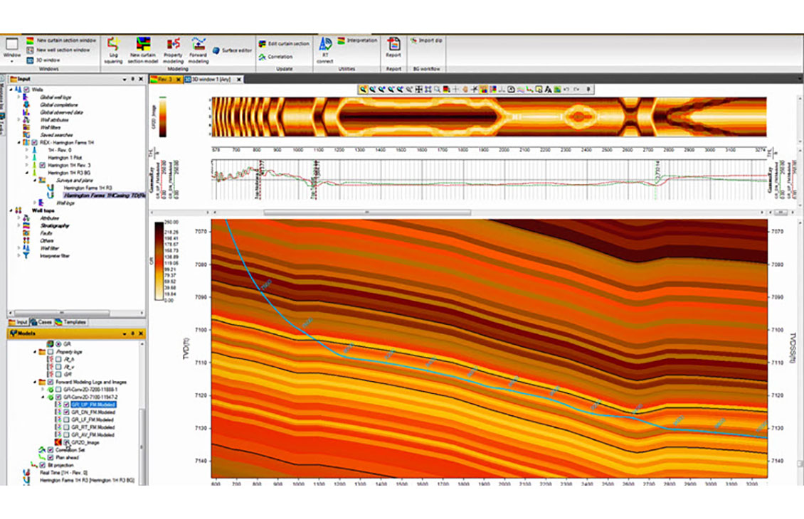
Petrel well correlation
Display, organize, and interpret any type of well data in a flexible 2D environment