Omni 3D seismic survey design software
Robust seismic survey design and analysis software
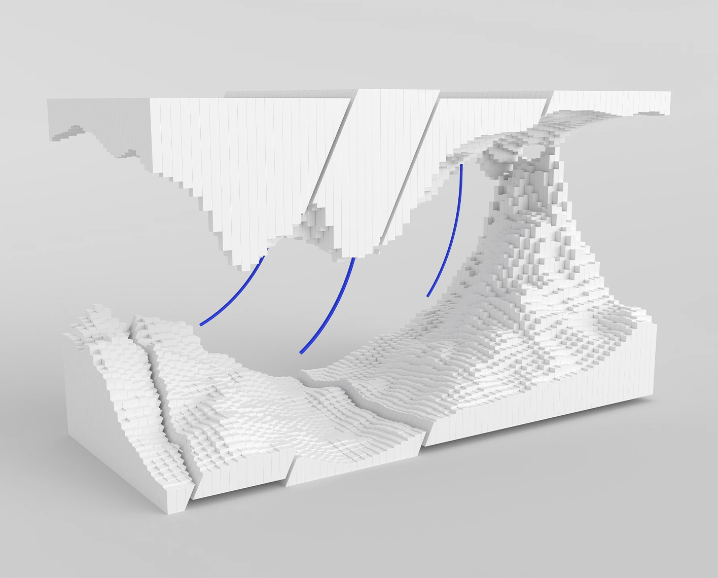
The Petrel™ seismic survey design (SSD) plug-in is a powerful survey design tool fully integrated into the Petrel environment. The Petrel SSD plug-in enables users to plan, edit, execute, and analyze marine, land, OBC, and VSP surveys. Numerous acquisition geometries are supported, including 2D and 3D narrow, wide, and multi- and full azimuth. The Petrel SSD plug-in can also be used to create complex shooting scripts (source-receiver relationships) and compute survey attributes such as fold, unique fold, and minimum and maximum offsets and visualize them as color maps. The sophisticated metrics in Petrel SSD for survey design QC include rose diagrams, spider diagrams, histograms, and redundancy charts.
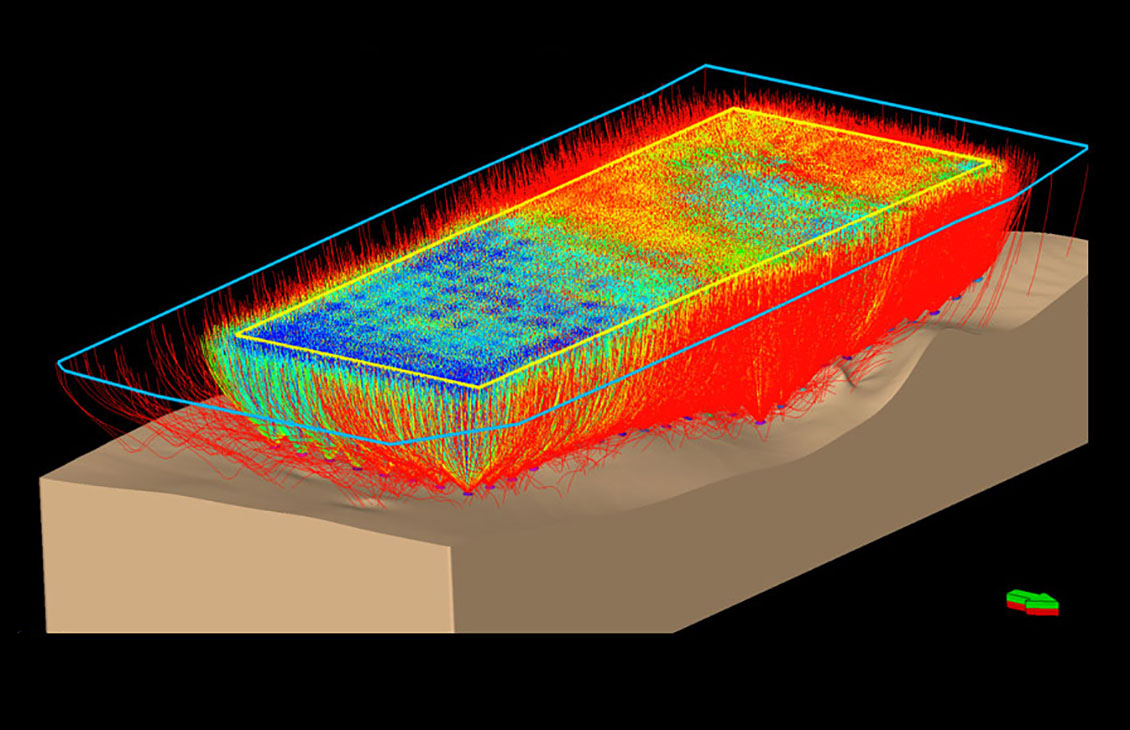
To enable advanced workflows, the Petrel SSD plug-in can be combined with the Petrel Earth Model Building (EMB) plug-in. Combined with Petrel EMB’s ray-tracing capabilities, the Petrel SSD plug-in enables users to adjust seismic acquisition parameters to address specific imaging challenges given by complex geological models.


NExT offers a comprehensive training program to support users of the SLB software, plugins, and other software products.
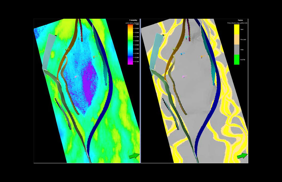
Advanced train estimation tools and trend modeling.
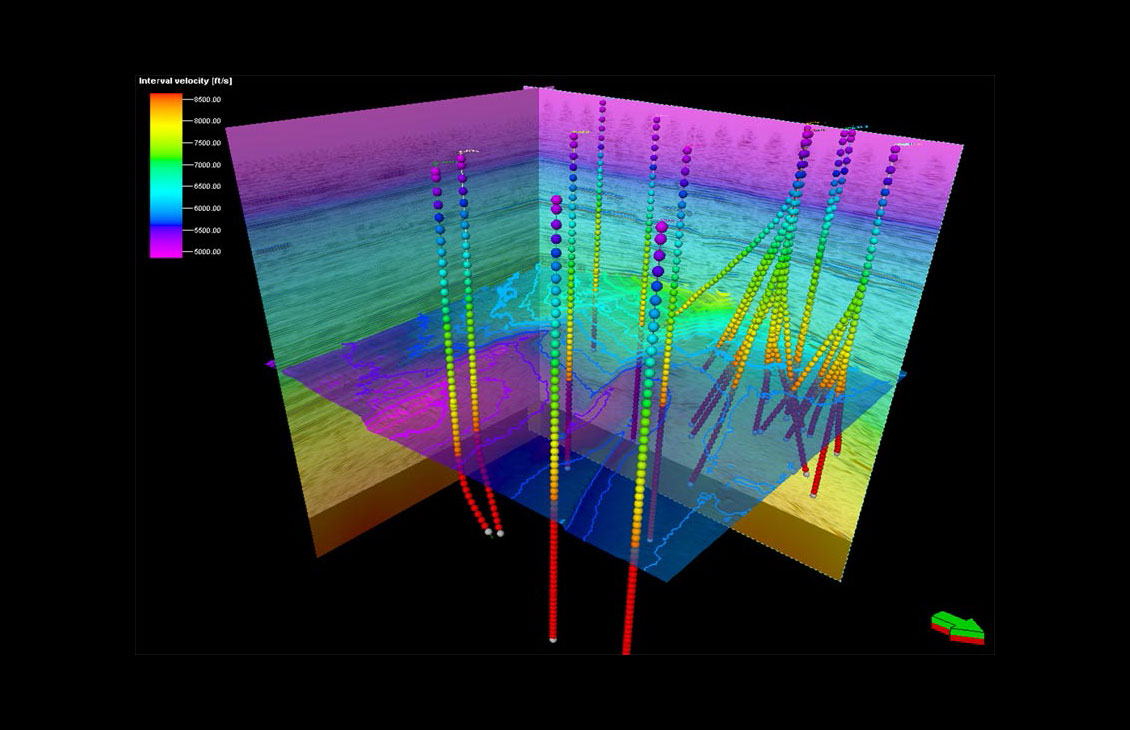
Accurate velocity modeling and domain conversion
Integrate Omega platform data and extend workflows for a unified, reliable earth model
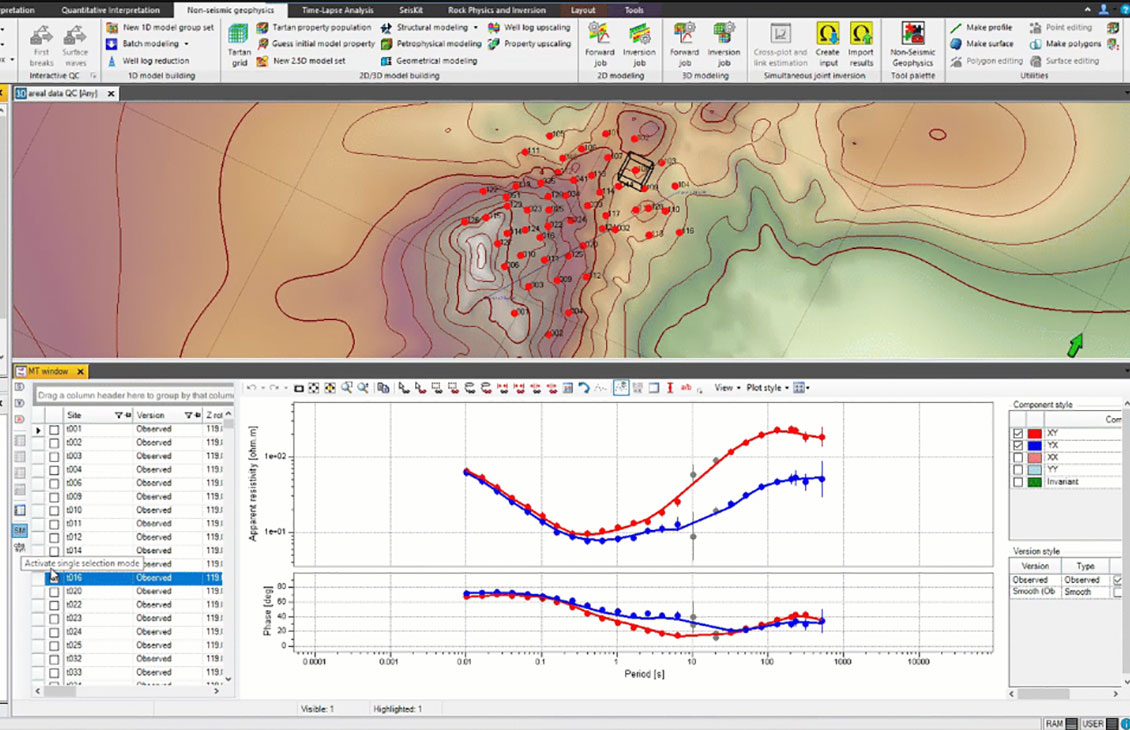
Integrated processing and modeling capabilities for magnetotelluric, controlled-source electromagnetic, and gravity and magnetic methodologies
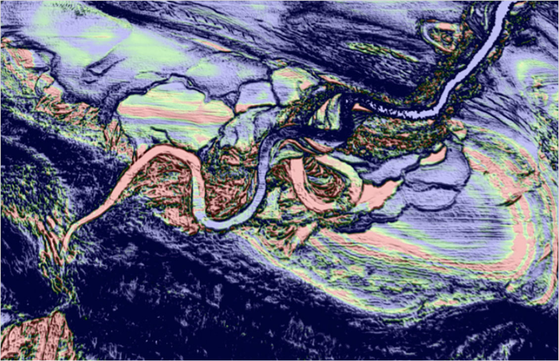
Create advanced seismic attributes to condition seismic data for better structural and stratigraphic interpretation tasks as well as enable powerful 3D volume interpretation workflows.
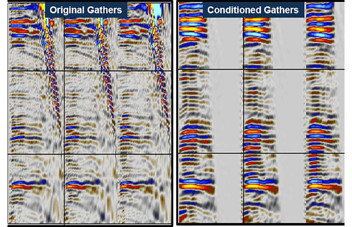
Prestack seismic visualization, interpretation, and processing
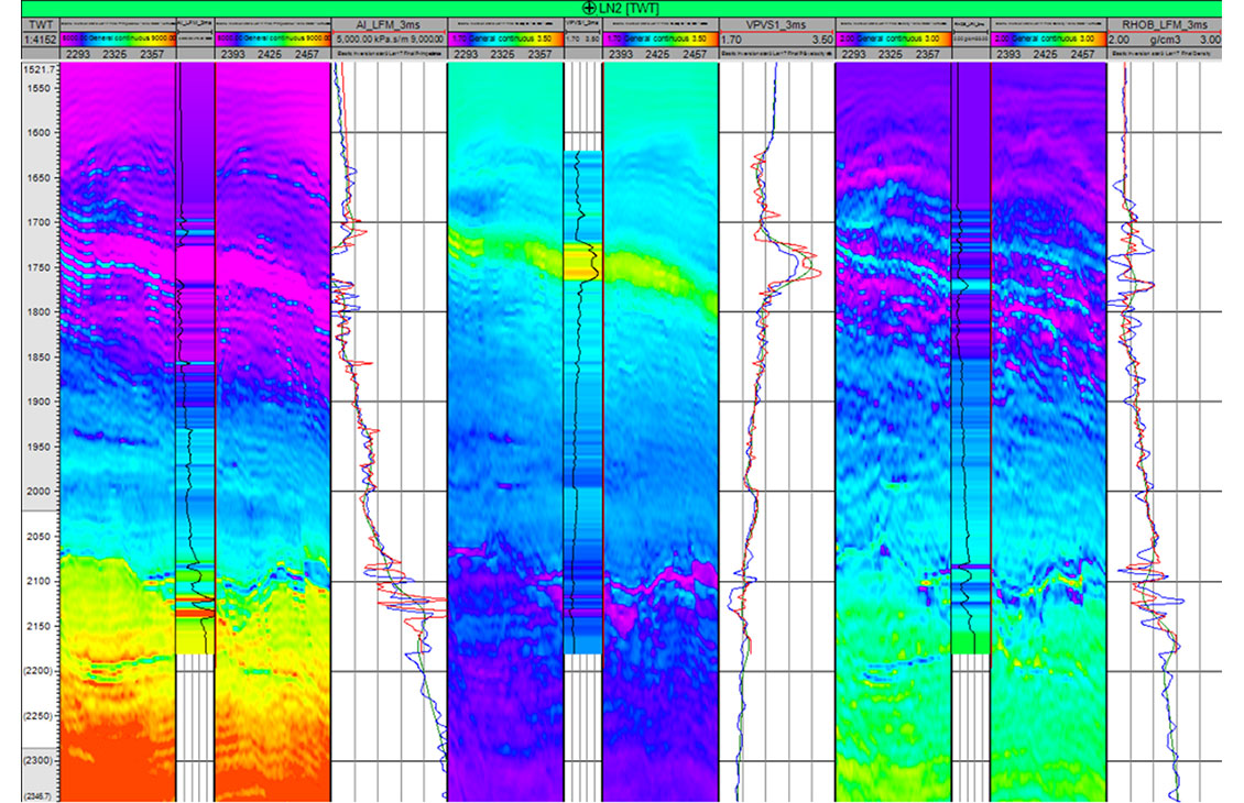
Accurate and comprehensive quantitative interpretation
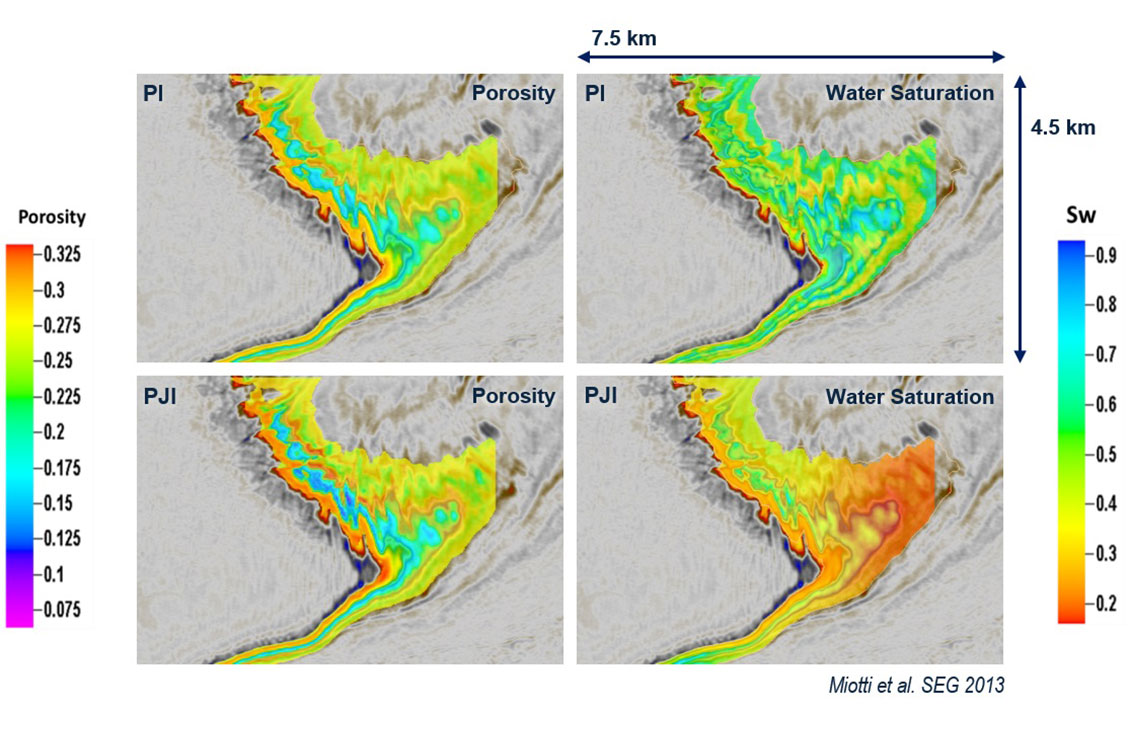
Modeling and inversion tools for advanced, efficient reservoir characterization
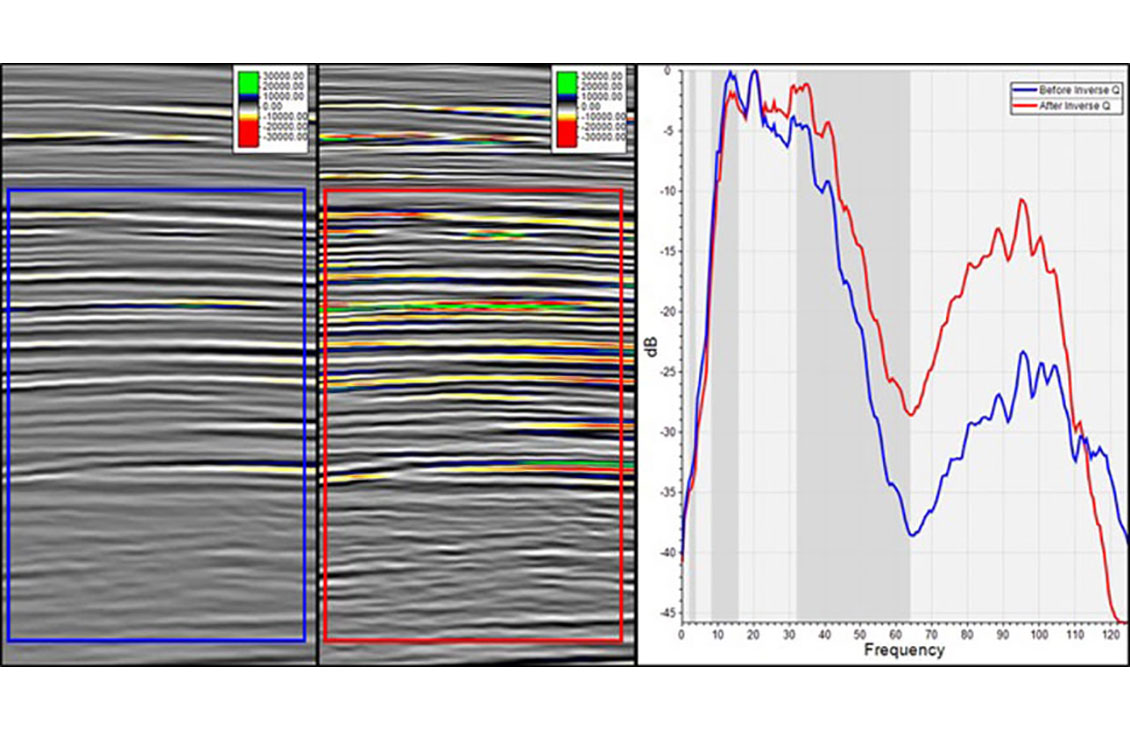
Spectral analysis, filtering, bandwidth extension, and amplitude gain for faster QC and image enhancement in the Petrel platform
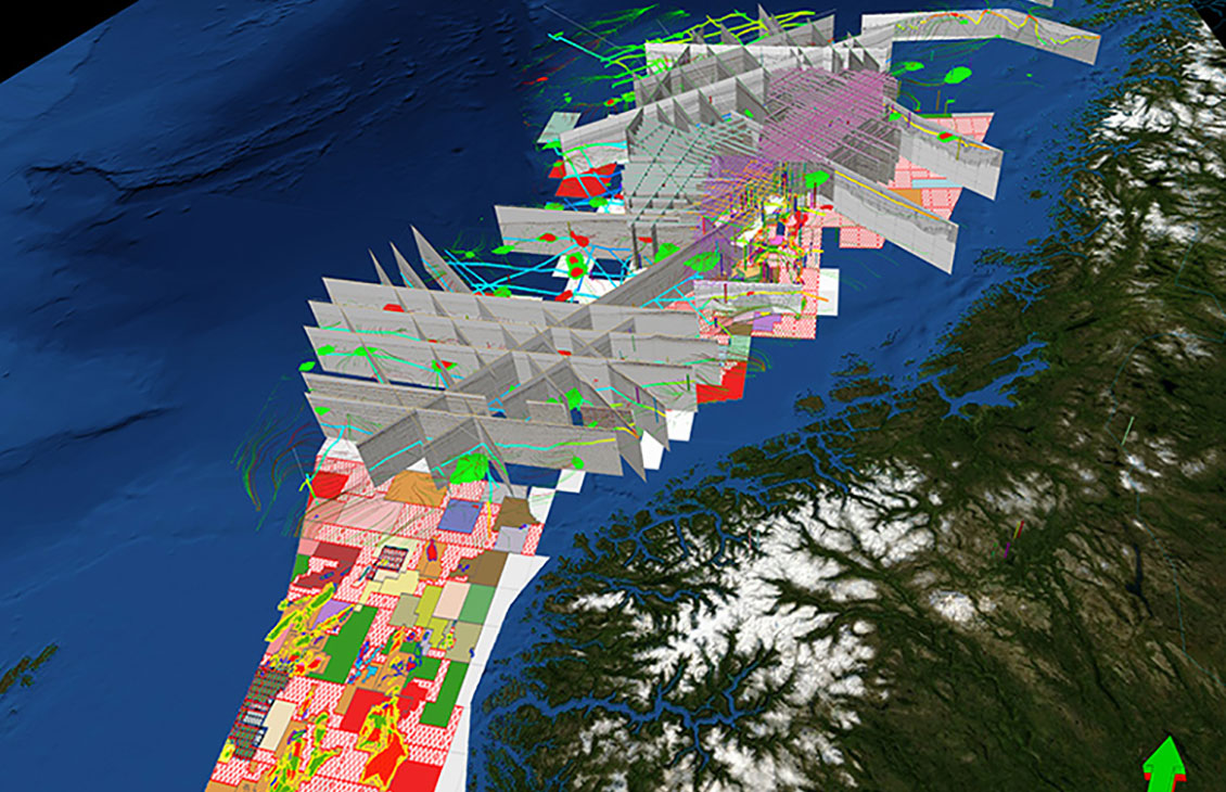
A responsive and flexible environment for 3D and 2D interpretation
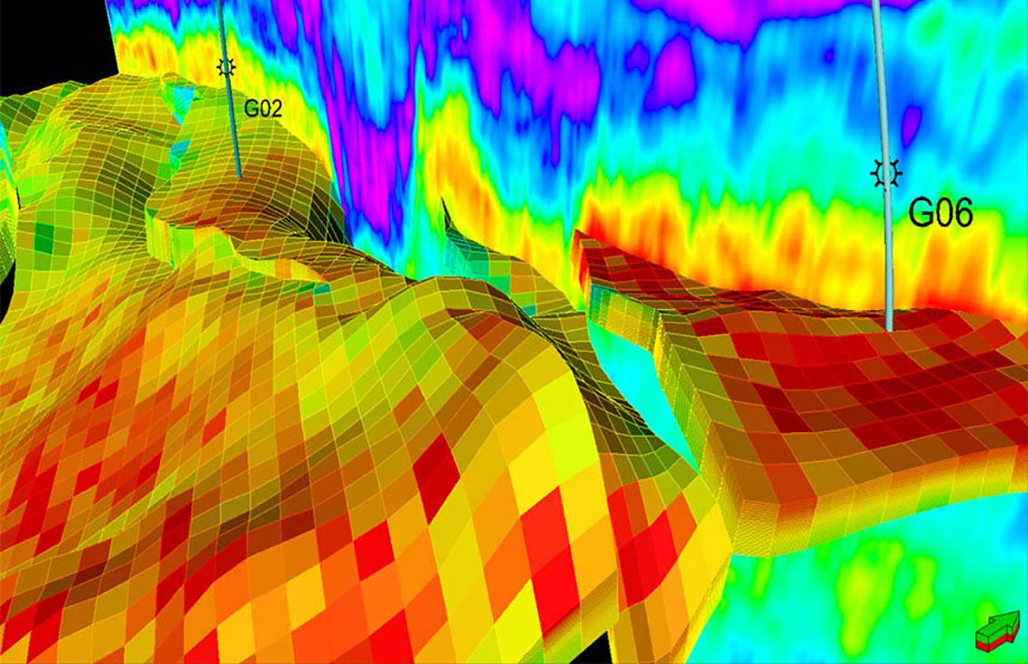
Resample seismic volumes and geobodies as properties into 3D grids
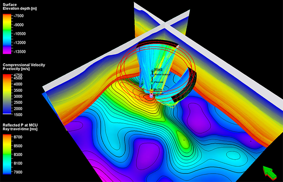
Seismic survey design and analysis
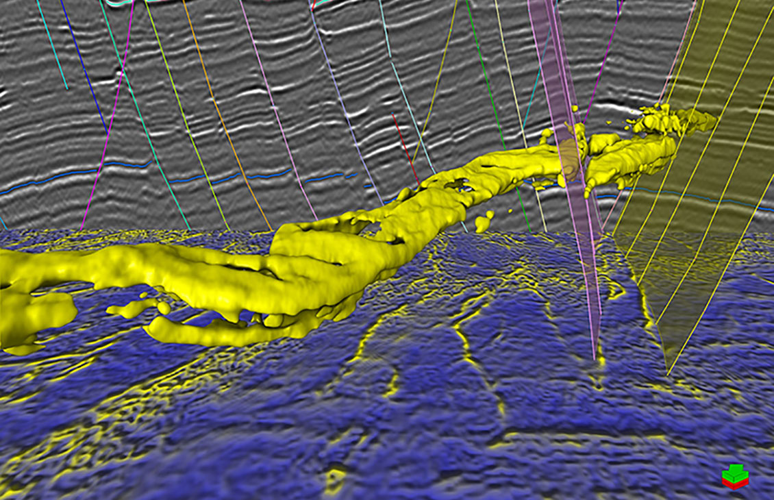
A fast, intuitive, and accurate approach to volume interpretation
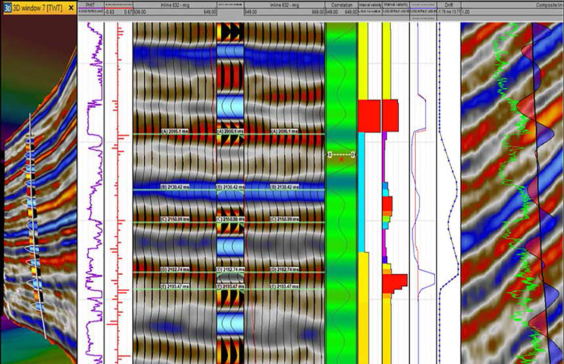
Comprehensive and robust seismic well tie
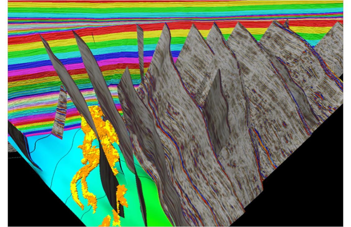
Analysis of fault sealing capabilities and mapping QC tools
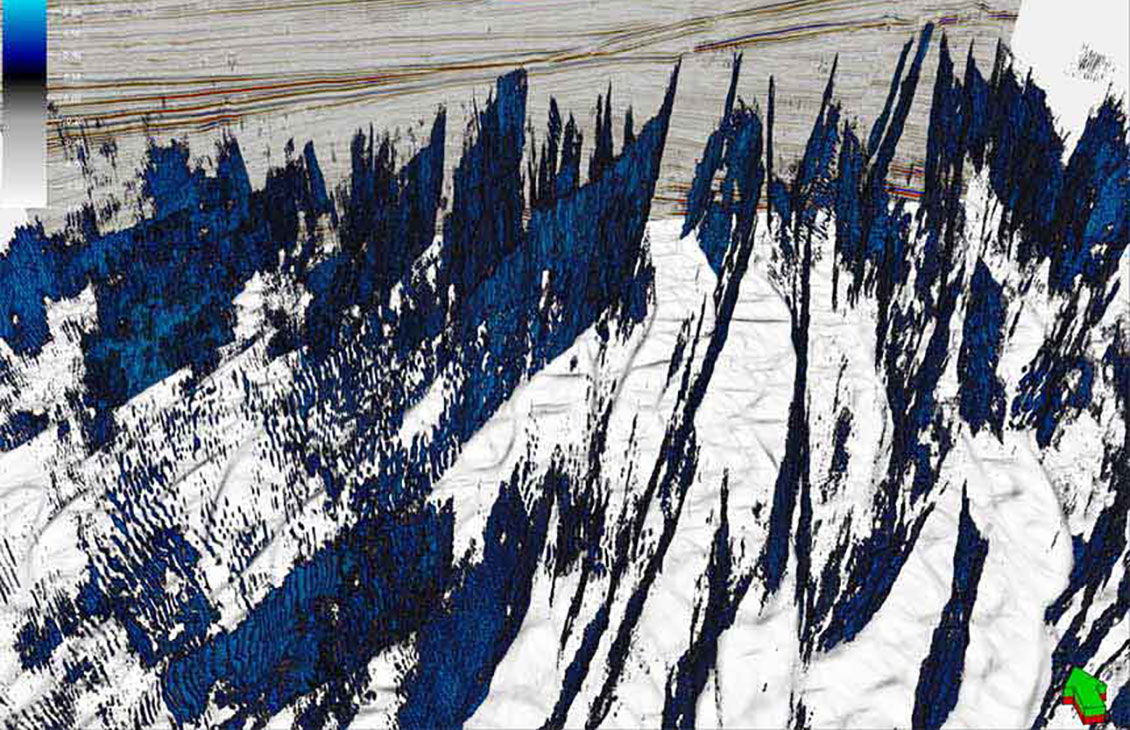
Fast, accurate structural interpretation workflow that reduces interpretation uncertainty and delivers a confident, validated structural framework of the subsurface
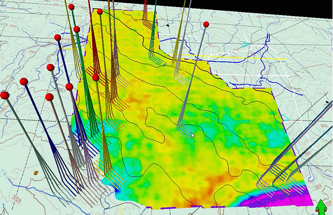
Display scanned maps, attribute maps, seismic time slices, and satellite images, draped over surfaces