Techlog Geology
Bring together geological and petrophysical data for reservoir characterization.

The range of potential applications for borehole image data in your organization is extremely diverse, including sedimentological interpretations that feed into reservoir models, multiwell fracture distributions for building fracture models, and stress orientations for planning frac jobs.
Easily incorporate data into Techlog wellbore software
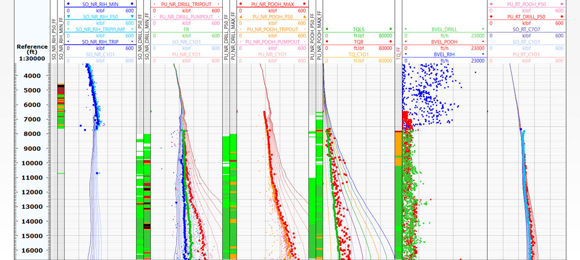
To fully capture the value of wellbore image data, they need to be incorporated into a multiwell geological display alongside other wellbore data (e.g., tops, core data, and logs). Data from borehole imaging tools such as the FMI fullbore formation microimager and the OBMI oil-base microimager are easily incorporated in Techlog wellbore software—either for a full processing workflow starting from raw data files from all commonly used tools and vendors, or to display the results of processed images to focus on the interpretation.
Significant development has been dedicated to enhancing the quality-control, processing, interpretation, and visualization tools in the recent version of the Techlog wellbore Imaging module. The new Inclinometry Quality Control method, for example, provides the ability to quality control and repair orientation data. Processing is now simple for nonspecialists—a wizard provides a guided workflow through all required steps of image processing, incorporating quality control, a simplified set of parameters, and automatic tool recognition. The workflow and final plots are saved automatically.
Perform field-level fracture characterization
Visualization of dip picking on the 3D view enhances the geological interpretation of wellbore images and improves your understanding of fracture distributions and the relationship of the well trajectory to the reservoir structure. Fracture characterization workflows with fracture aperture computations, automatic recognition of facture orientation sets, and fracture statistics give you the unique ability to perform fracture characterization at the field level.
Along with other visualization and processing enhancements, these developments enhance the sharing of image data and interpretations across all team members, complementing the existing multiwell processing and data integration provided by Techlog wellbore software.

Petrel Geology
Use well path trajectories to locate wellbores within their spatial positions, to create a 3D model of the reservoir or geological structure under study.
Visualize your well data in a 2D map viewer—any curve in Techlog wellbore software can be summarized on a zone by zone basis for mapping and quickly displayed in the 2D map viewer.
Predict and propagate rock classification groups—use the 2D indexed and probabilized self-organizing map to help your geological interpretation of log data and facies prediction.
Objectively reconstruct your missing data. Use log data and the powerful neural network capabilities to predict non-recorded parameters e.g. to reconstruct poor or missing data and to manage the shift from core to reservoir scale.
Sophisticated image analysis, automatic tool and vendor recognition for raw and processed data, and simplified loading and analysis of wellbore image data via a processing wizard.
Ocean Plugins
High-Resolution OBM Imaging with Quanta Geo Service
Quanta Geo photorealistic reservoir geology service redefines imaging in oil-base mud (OBM) to provide highly detailed, core-like microresistivity images that truly visually represent formation geology.


Discover digital
Software
World leading software built to solve your challenges.
Living Digital
See the latest digital articles, webinars, podcasts, blogs and tech talks.
Support
Access a variety of technical assisted support services and submit support requests online.