Techlog Advanced Plotting
Use well path trajectories to locate wellbores within their spatial positions, to create a 3D model of the reservoir or geological structure under study.
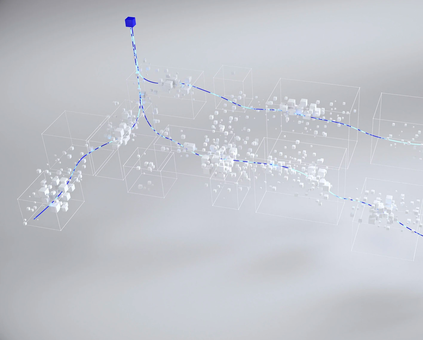
Advanced plotting features a far greater ability to view and interrogate data in a multi-dimensional, interactive manner. With powerful engine and spatial enablement, this module brings the wellbore closer to the 3D geological or reservoir model like never before.
- Relabeling of acoustic data in the LogView
- Borehole shape: In the LogView and the borehole section plot
- Stereonets, walkout and cumulative dip plot
- 3D field viewer

- Waveform display
- Pad concatenation
- Single depth plot

NExT Techlog training courses
NExT offers a comprehensive training program to support users of the SLB software, plugins, and other software products.
In this section
-
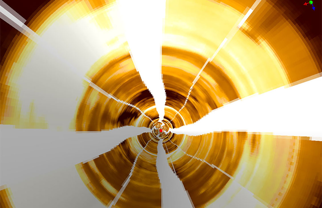
Techlog Advanced Plotting
Use well path trajectories to locate wellbores within their spatial positions, to create a 3D model of the reservoir or geological structure under studyUse well path trajectories to locate wellbores within their spatial positions.
-
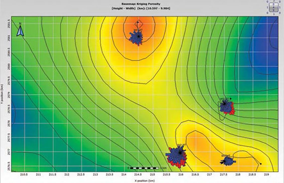
Techlog Field Map
Any curve in Techlog wellbore software can be summarized on a zone by zone basis for mapping and quickly displayed in the 2D map viewerVisualize your well data in a 2D map viewer.
-
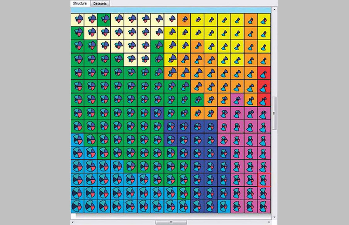
Techlog Ipsom
Use the 2D indexed and probabilized self-organizing map to help your geological interpretation of log data and facies predictionPredict and propagate rock classification groups.
-
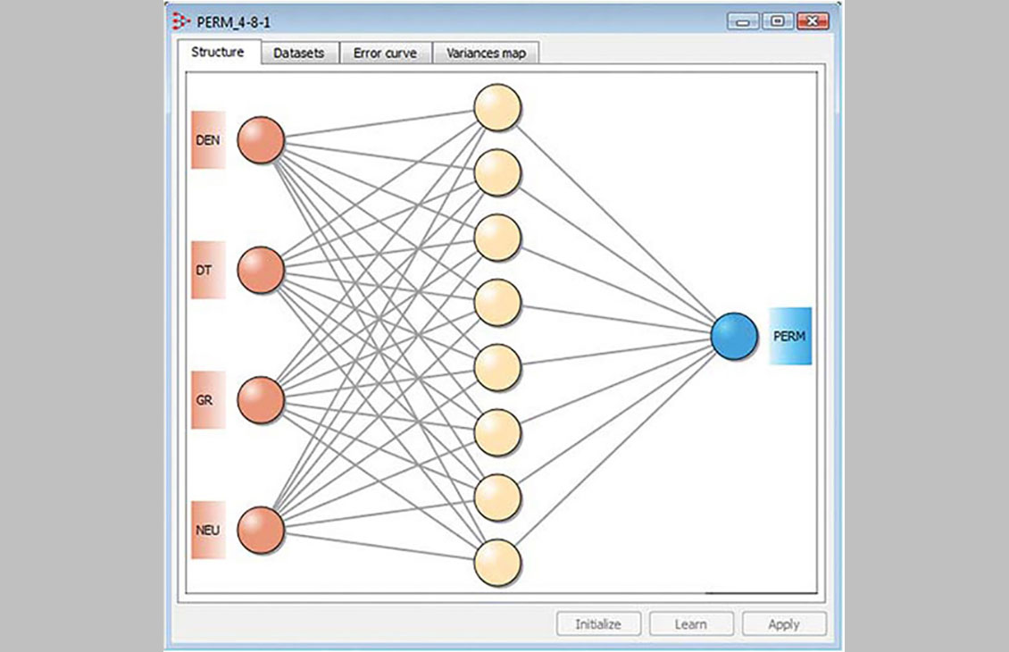
Techlog K.mod
Use log data and the powerful neural network capabilities to predict non-recorded parametersObjectively reconstruct your missing data.
-
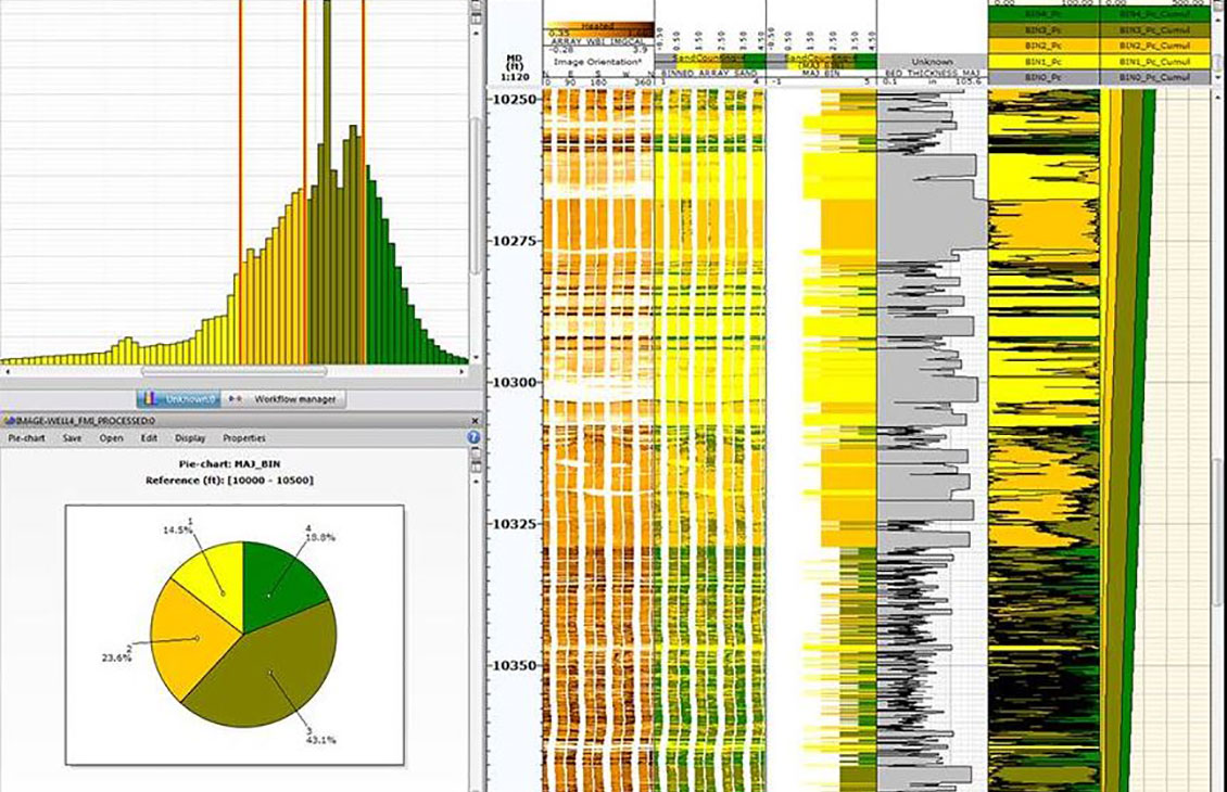
Techlog Wellbore Imaging
Sophisticated image analysis, automatic tool and vendor recognition for raw and processed data, and simplified loading and analysisSophisticated image analysis, automatic tool and vendor recognition for raw and processed data, and simplified loading and analysis.


