Geophysics solutions
Geophysical interpretation, from basin to reservoir scale.


From regional exploration to reservoir development and production optimization, geophysics is a critical tool to solve the most complex structural and stratigraphic challenges—including advanced seismic processing, depth imaging, and 3D, 2D, and prestack seismic interpretation as well as advanced quantitative interpretation. With its industry-leading visualization, interpretation, and collaboration tools at your fingertips, our software can help you rapidly process and perform high-quality geophysical interpretation of seismic or nonseismic methods.
Explore our solutions
-
Geophysicist on Delfi
Advanced set of tools to solve the most complex geophysical challengesProvide geophysicists and geoscientists with the most advanced set of tools to solve the most complex geophysical challenges, from regional exploration to reservoir development.
-

Reservoir Engineer on Delfi
Collaborative reservoir characterization, development planning, and production evaluation to optimize reservoir performancePerform collaborative reservoir characterization, development planning, and production evaluation to optimize reservoir performance.
-

Seismic Processor on Delfi
Domain profiles on DelfiEnables geophysicists to easily and intuitively manage seismic data and projects with the ability to interactively generate velocity solutions.
-

Unconventional on Delfi
Full range of tools to solve the most complex structural and stratigraphic challengesPetrel subsurface software provides a full range of tools to solve the most complex structural and stratigraphic challenges.
Structural and stratigraphic interpretation
-
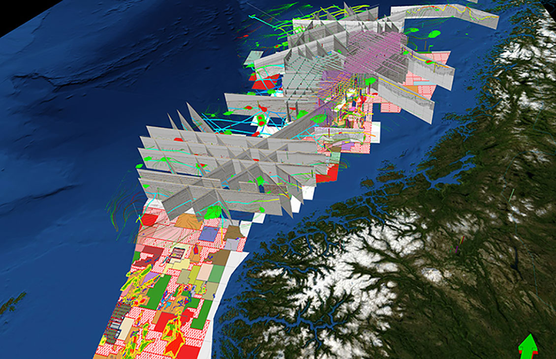
Petrel Seismic Interpretation
A responsive and flexible environment for 3D and 2D interpretation
-
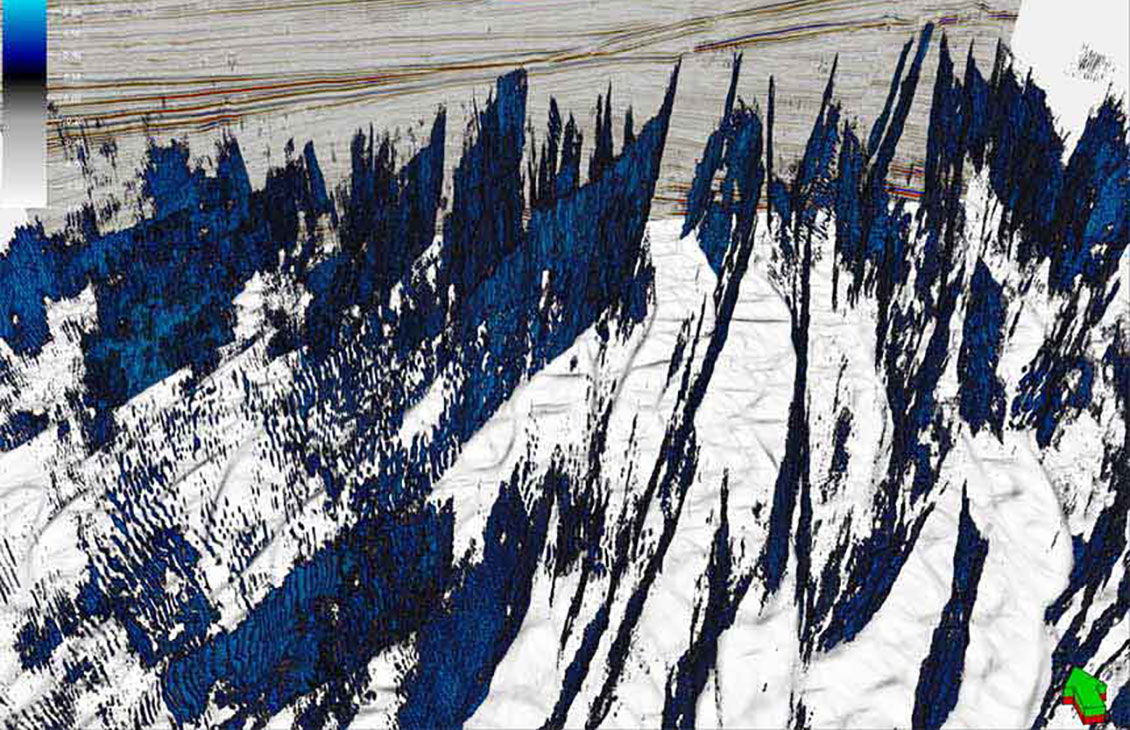
Petrel Structural Interpretation
Fast, accurate structural interpretation workflow that reduces interpretation uncertainty and delivers a confident, validated structural framework of the subsurface
-
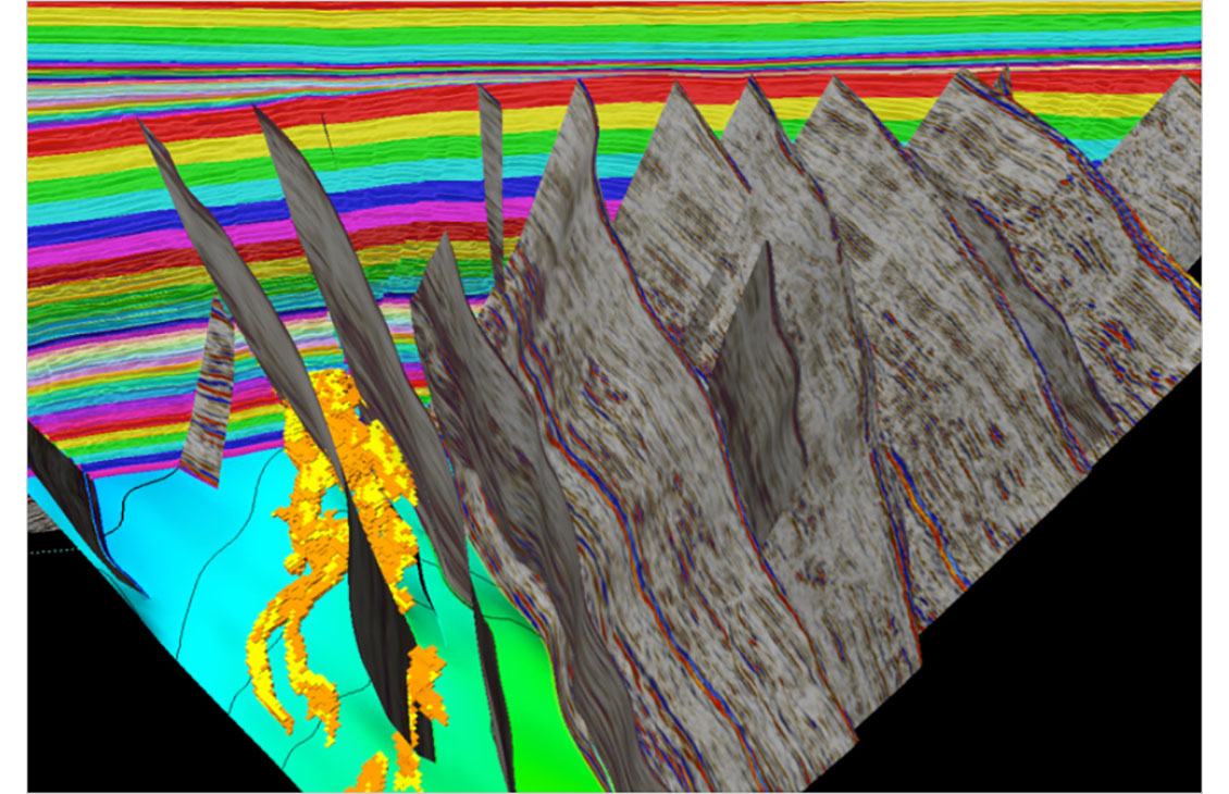
Petrel Structural and Fault Analysis
Analysis of fault sealing capabilities and mapping QC tools
-

Petrel subsurface software
Enable discipline experts to work together and make the best possible decisions from exploration to productionEnable discipline experts to work together and make the best possible decisions from exploration to production.
Seismic attributes computation and extraction
-
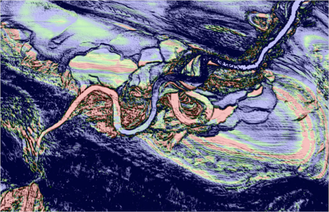
Petrel Multitrace Attributes
Create advanced seismic attributes to condition seismic data for better structural and stratigraphic interpretation tasks as well as enable powerful 3D volume interpretation workflows.
-
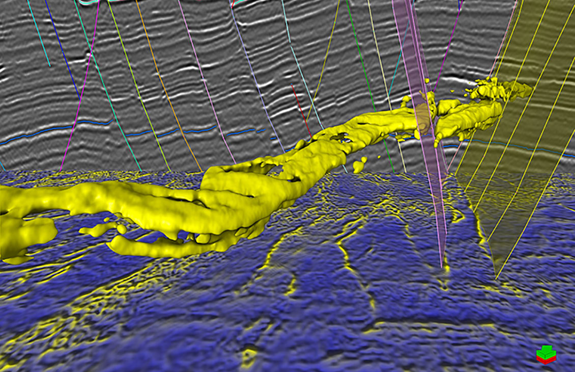
Petrel Seismic Volume Rendering and Extraction
A fast, intuitive, and accurate approach to volume interpretation
-
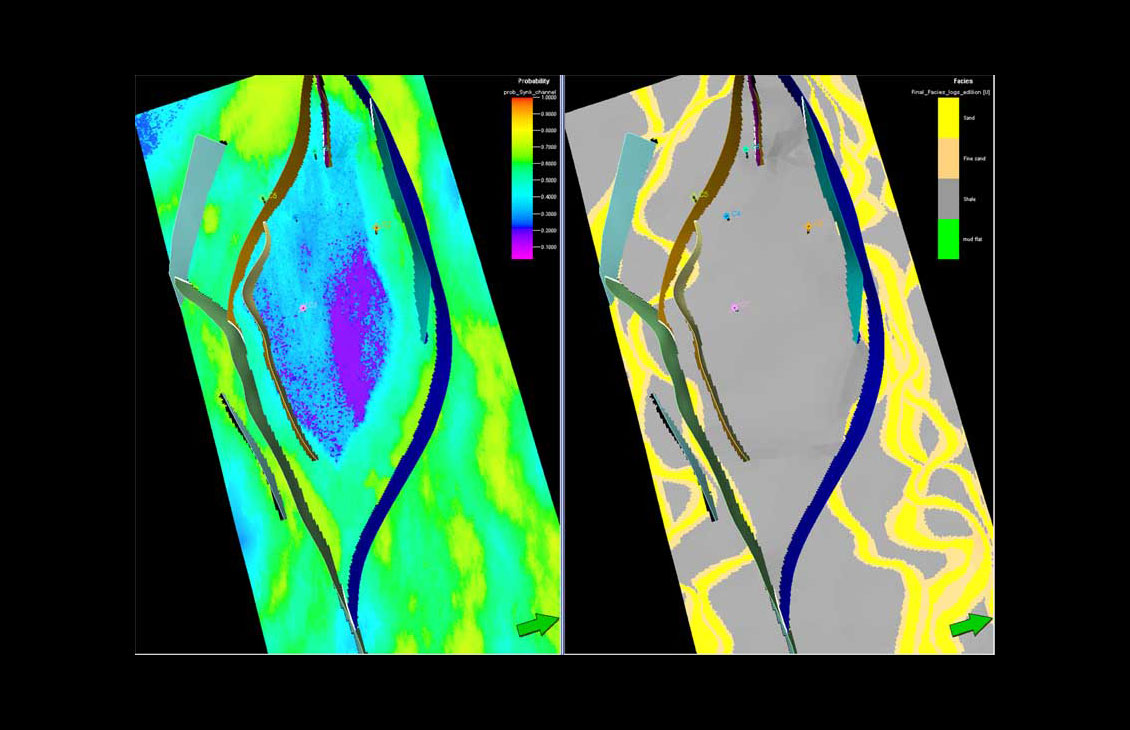
Petrel Classification and Estimation
Advanced train estimation tools and trend modeling.
-
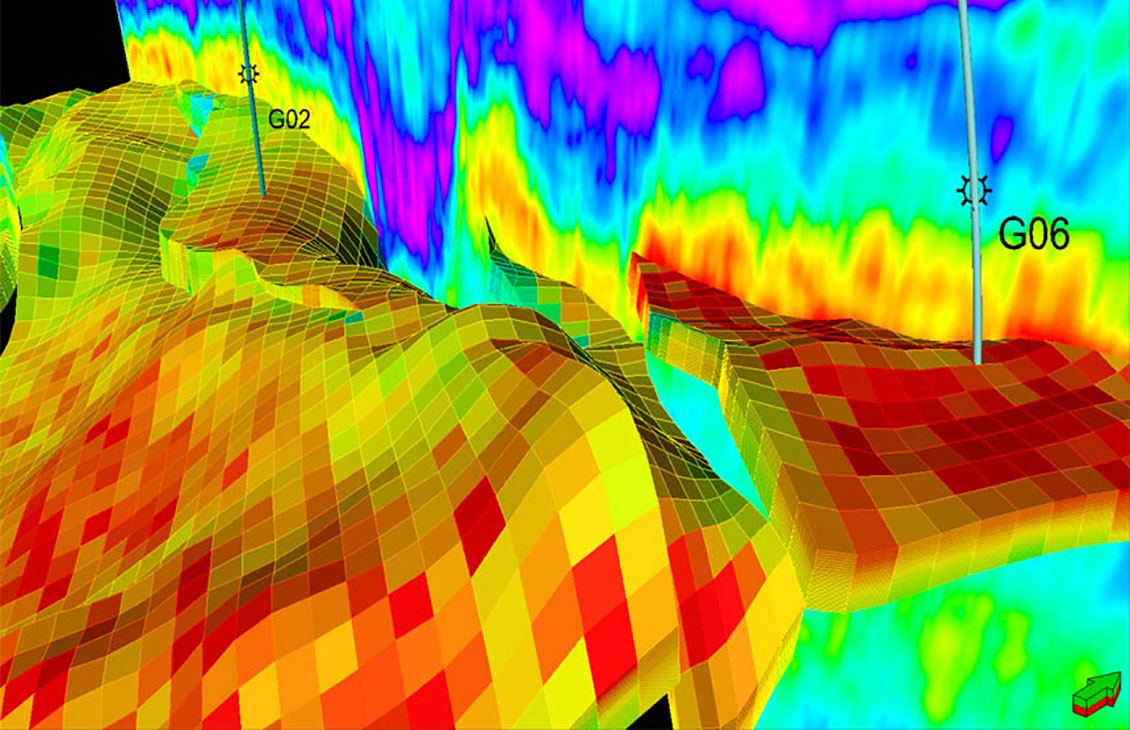
Petrel Seismic Sampling
Resample seismic volumes and geobodies as properties into 3D grids
-

Petrel subsurface software
Enable discipline experts to work together and make the best possible decisions from exploration to productionEnable discipline experts to work together and make the best possible decisions from exploration to production.
Well and seismic calibration
-
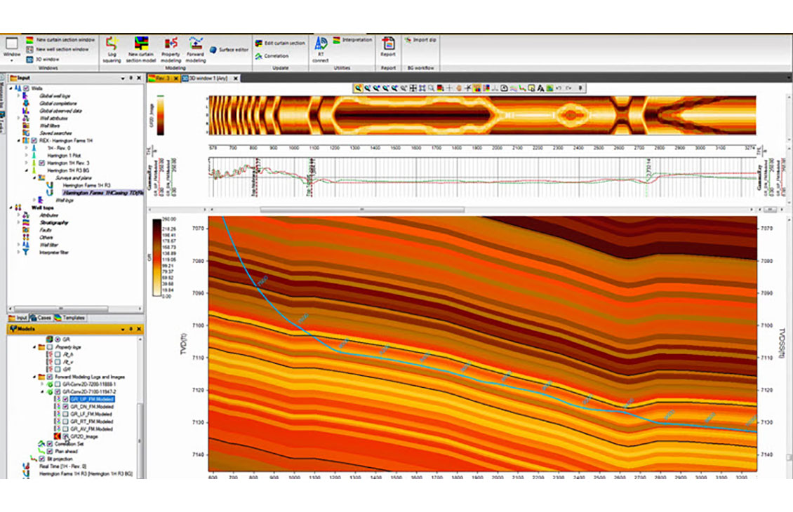
Petrel well correlation
Display, organize, and interpret any type of well data in a flexible 2D environment
-
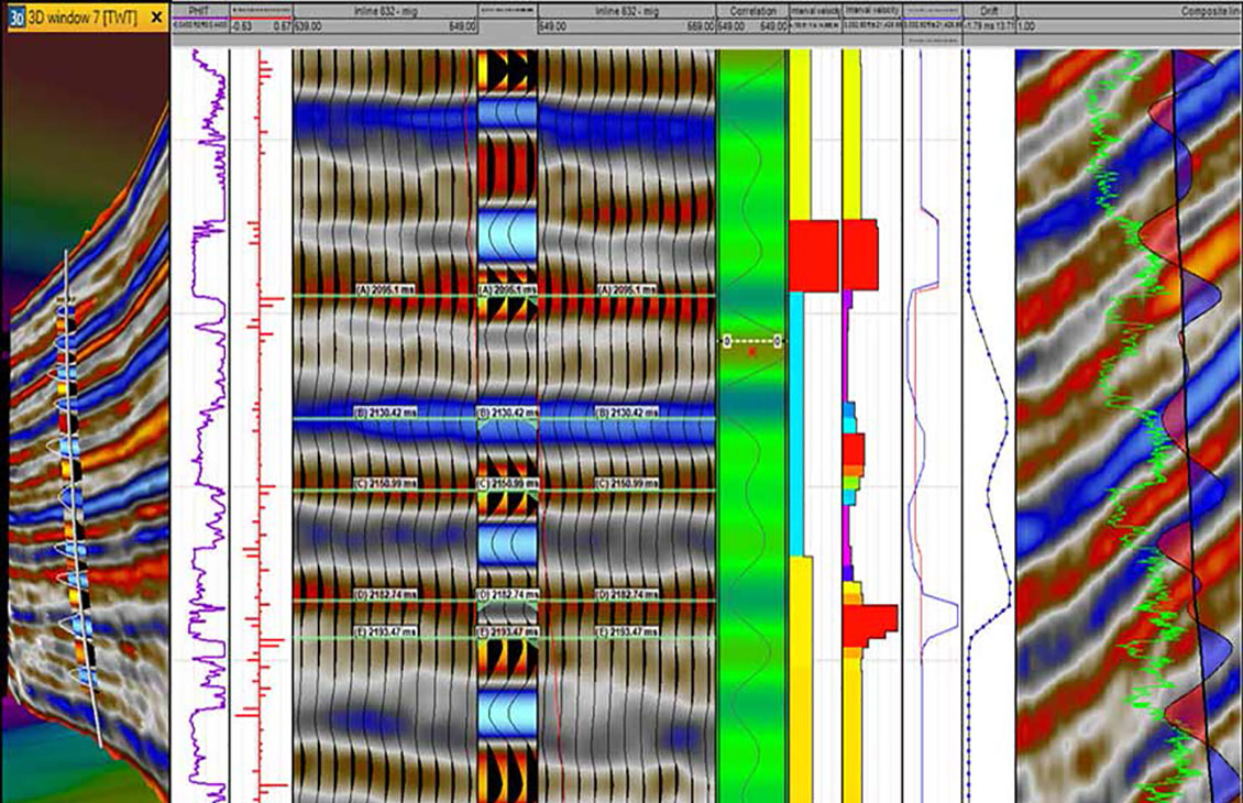
Petrel Seismic Well Tie
Comprehensive and robust seismic well tie
-

Techlog Geophy
Integrating Petrophysical, Geomechanical, and Seismic MeasurementsIntegrating Petrophysical, Geomechanical, and Seismic Measurements.
-

Techlog Acoustics
Supporting a wide range of wireline and LWD sonic tools to enable users to load, view, and quality control sonic dataSupporting a wide range of wireline and LWD sonic tools to enable users to load, view, and quality control sonic data.
-

Petrel subsurface software
Enable discipline experts to work together and make the best possible decisions from exploration to productionEnable discipline experts to work together and make the best possible decisions from exploration to production.
-
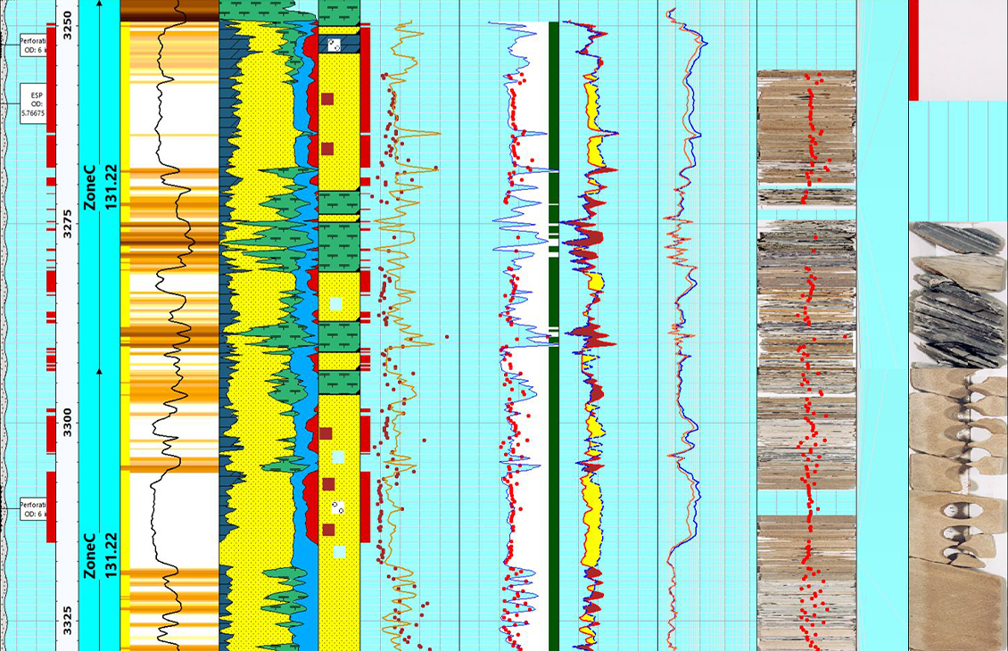
Techlog Wellbore Software
Integration of all wellbore-centric data types into multidiscipline workflowsIntegration of all wellbore-centric data types into multidiscipline workflows.
Velocity modeling and time/depth conversion
-
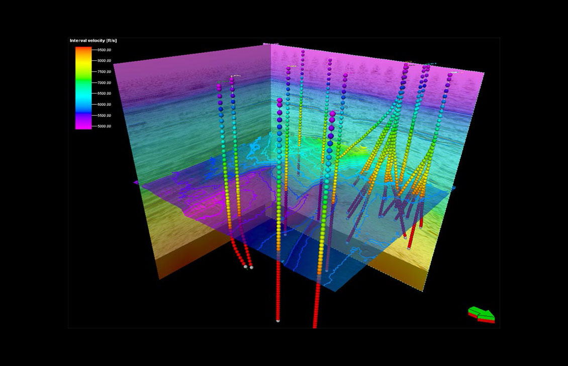
Petrel Domain Conversion
Accurate velocity modeling and domain conversion
-
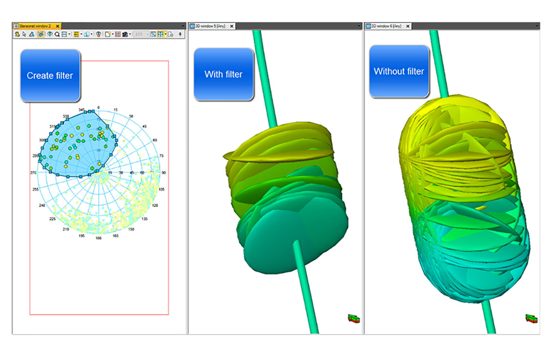
Petrel data analysis
Analyze any data from all angles
-

Petrel subsurface software
Enable discipline experts to work together and make the best possible decisions from exploration to productionEnable discipline experts to work together and make the best possible decisions from exploration to production.
Quantitative interpretation
-
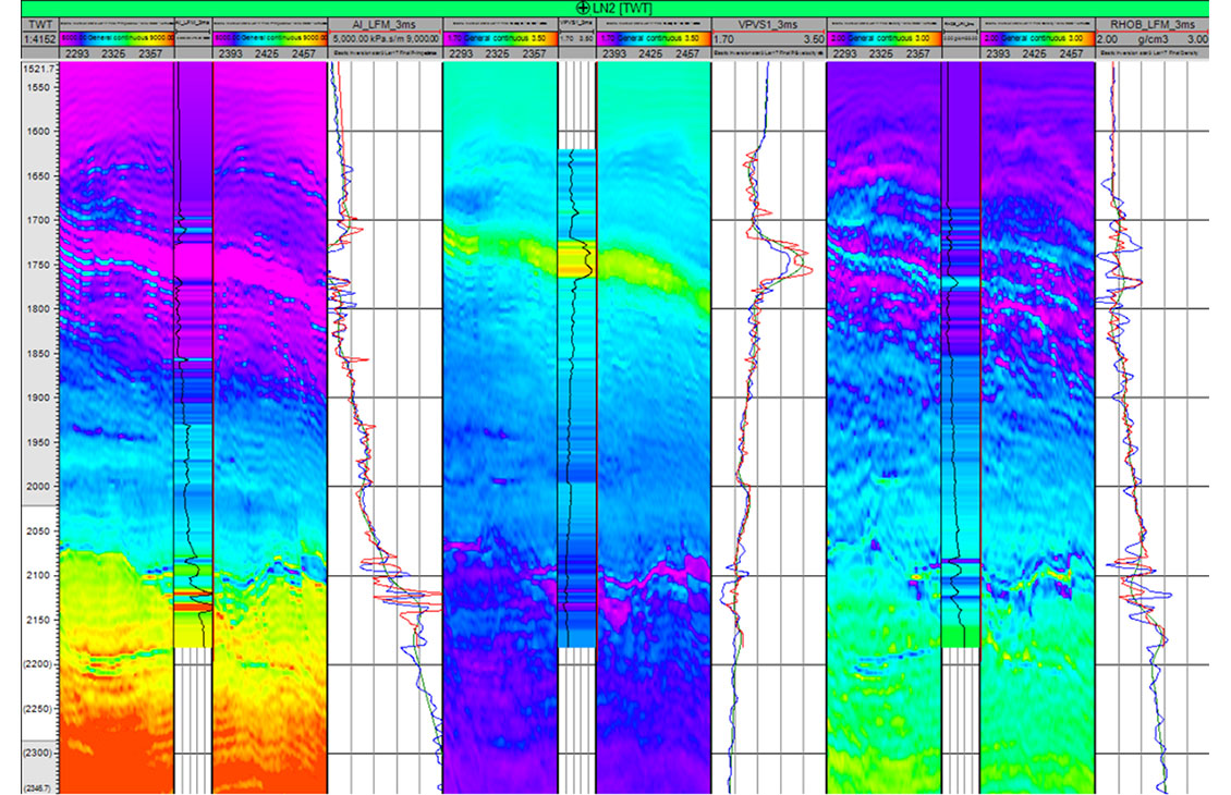
Petrel Quantitative Interpretation
Accurate and comprehensive quantitative interpretation
-
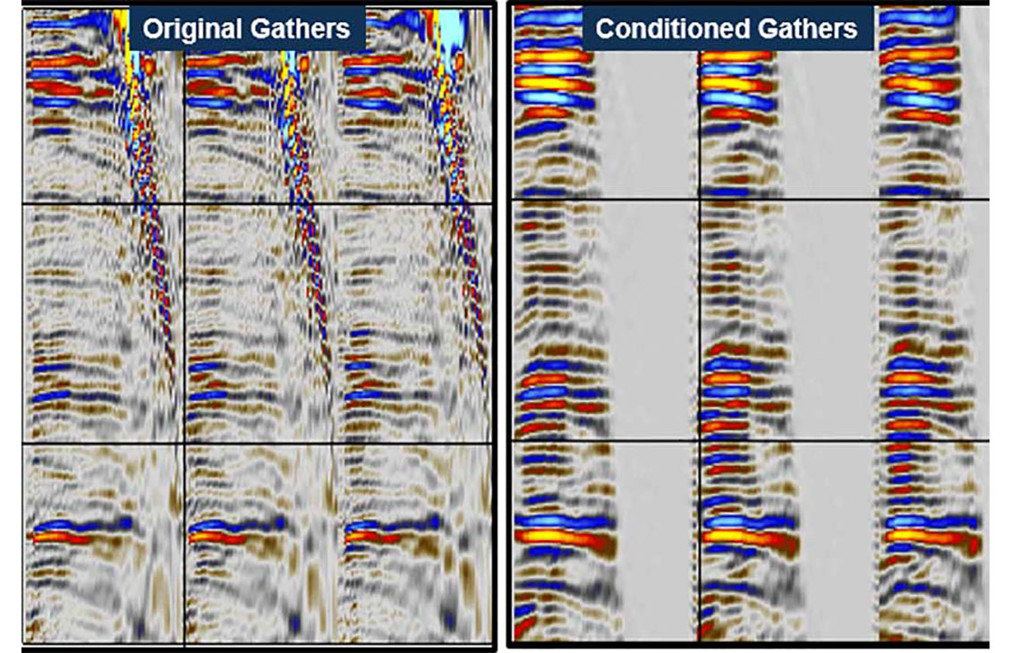
Petrel Prestack Seismic Interpretation Plug-In
Prestack seismic visualization, interpretation, and processing
-
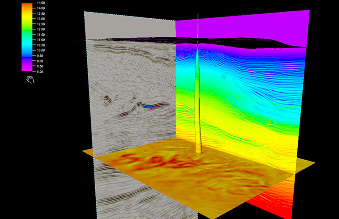
Petrel seismic pore pressure modeling
Multiwell pore pressure prediction model
-

Petrel subsurface software
Enable discipline experts to work together and make the best possible decisions from exploration to productionEnable discipline experts to work together and make the best possible decisions from exploration to production.
Seismic processing and depth imaging
-

Petrel Seismic Volume Rendering and Extraction
A fast, intuitive, and accurate approach to volume interpretation
-
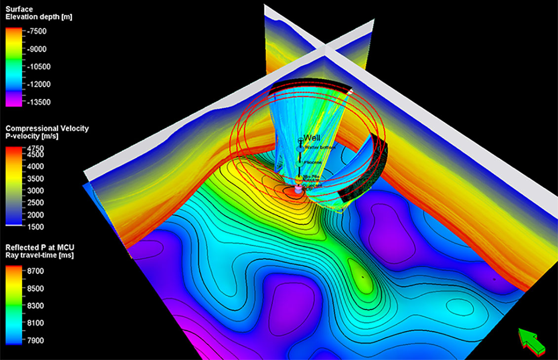
Petrel Seismic Survey Design Plug-In
Seismic survey design and analysisSeismic survey design and analysis
-

Petrel subsurface software
Enable discipline experts to work together and make the best possible decisions from exploration to productionEnable discipline experts to work together and make the best possible decisions from exploration to production.
-

Omega geophysical data processing software
Unlock your geophysics data potential with the industry's most advanced geophysical processing software solutionUnlock your geophysics data potential with the industry's most advanced geophysical processing software solution

Domain Profiles on Delfi
Provide geophysicists and geoscientists with the most advanced set of tools to solve the most complex geophysical challenges, from regional exploration to reservoir development.
Learn More