Wellbore Geology
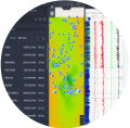
A variety of solutions, borehole images processing, borehole geology workflows with graphic and 3D tools, cross sections and well correlation view in Techlog

Overview
Wellbore Geology encompass a variety of solutions, borehole images processing, borehole geology workflows with graphic and 3D tools, cross sections and well correlation view in Techlog, but also management of high volume of data with efficient and handy cross sections and well correlation of well logs, geological tops and zones, assisted cleaning of high volume of tops, assisted zones creation and zones synchronization with tops, 3D view and mapping based on geological tops, stratigraphic zones and properties. Connected to Petrel and techlog
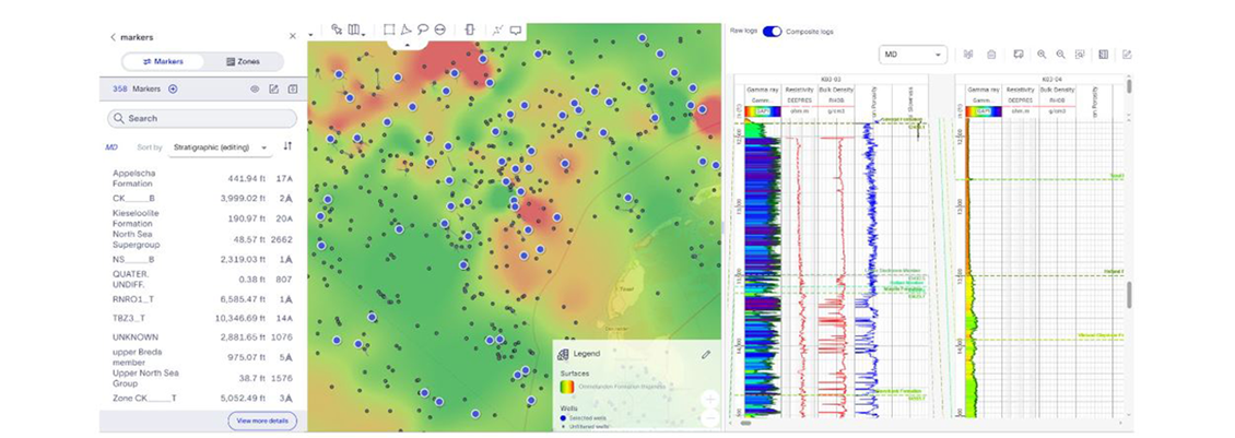
Wellbore interpretation: Marker conditioning
Marker conditioning uses Techlog software markers, Petrel software well tops, stratigraphic columns, and markers liberated to the OSDU Data Platform, enabling the creation of interactive lines of section and allowing multiple users to collaborate. This process enables the creation of QC maps such as elevation, thickness, and properties maps. Finally, a composite is created based on a clean set of markers
Screen and find the right data: Rapidly assess and interpret petrophysical and geological data essential to calibrating and refining subsurface interpretation workflows.
Innovate at scale: Leverage AI and ML. Plug-in your own ML algorithm for accelerated Innovation.
Efficient Integration: Leverage machine learning to perform wellbore interpretation in the cloud, empowering interpreters to focus on what truly counts. Seamlessly integrate with existing Petrotechnical solutions.
Unrivalled performance: Enhance efficiency and boost productivity through automated wellbore interpretation, spanning from field to basin scale. Shorten the decision-making timeline while improving overall quality.
OSDU Data Platform read and write
- Techlog software markers
- Petrel subsurface software well tops
- Stratigraphic column shared on the OSDU Data Platform
- Edited markers and zones shared on the OSDU Data
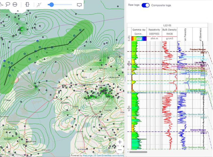
Line of section
- Create line of section
- Customizable line width
- Add/removes points and well to existing line
Markers/tops collaboration
- Live update (multi user)
- Read only by interpreter
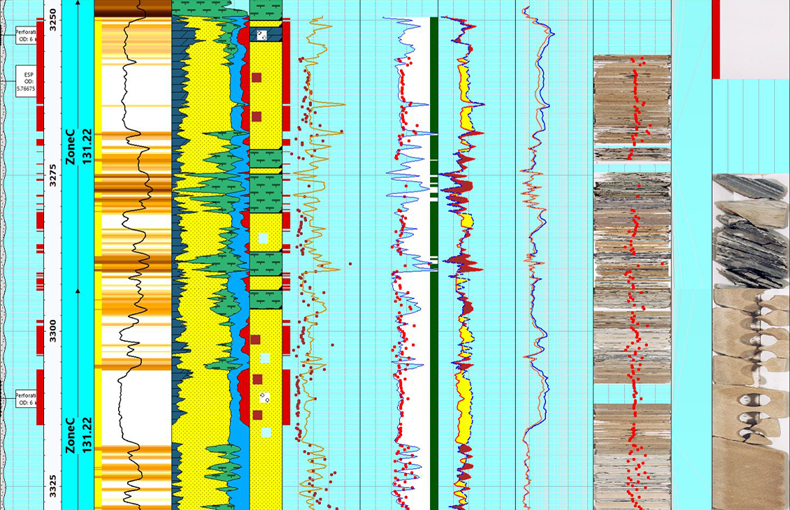
- Well section
- Add, move, delete
- Flatten
- Detailed view
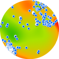
QC maps
- Markers elevation map
- Zone thickness (Isopach) maps
- Zone properties maps: gamma ray, bulk den etc.
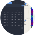
Conditioned markers
- Build a clean set of markers easily
- Interpreter priority rules
- Preview and data validation
Marker composites
Starting from the wellbore interpretation application., the geologist opened a workspace and created a cross-section to visualize well logs and markers. The geologist wants to create a gold standard set of markers from a stratigraphic column where multiple geologists worked together on different markers and wells. The geologist expands the stratigraphic column, to see more details on the markers.
Wellbore: Marker Composites
Starting from the wellbore interpretation application., the geologist opened a workspace and created a cross-section to visualize well logs and markers.
Wellbore live markers collaboration
The video shows the wellbore interpretation application being opened by 2 geologists. The geologists opened the same workspace. Both geologists created a line of section in the same area, with wells in common.
Live Marker collaborations
The video shows the wellbore interpretation application being opened by two geologists. The geologists opened the same workspace. Both geologists created a line of section in the same area, with wells in common.
Products and services
-
Techlog Wellbore Software
Integration of all wellbore-centric data types into multidiscipline workflowsIntegration of all wellbore-centric data types into multidiscipline workflows.
-

Petrel subsurface software
Enable discipline experts to work together and make the best possible decisions from exploration to productionEnable discipline experts to work together and make the best possible decisions from exploration to production.