Petrel drilling
An integrated environment for geoscience and drilling from well design to geosteering


A breakthrough solution for drilling engineers and geoscientists
Applying geological knowledge to drilling workflows works best when drilling and subsurface teams share a common understanding. Petrel™ subsurface software provides a common canvas for a shared earth model in the reservoir and the overburden. Drilling engineers and geoscientists can work together to evaluate more challenging exploration and development scenarios.
In today’s challenging environments—regardless of tougher regulations or demanding reservoir locations—you can work with more confidence, from the initial screening step to the more rigorous analysis. Ultimately, these workflows improve the life cycle, whether in the well planning phase, during drilling operations, or in post-well reviews.
Well path design and positioning
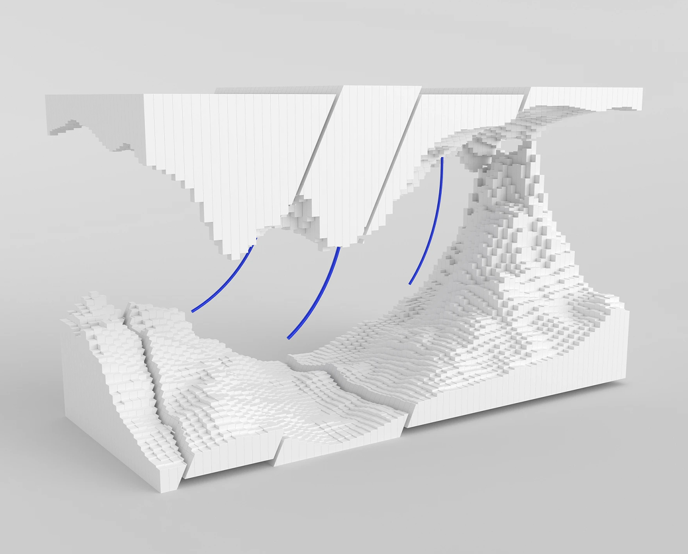
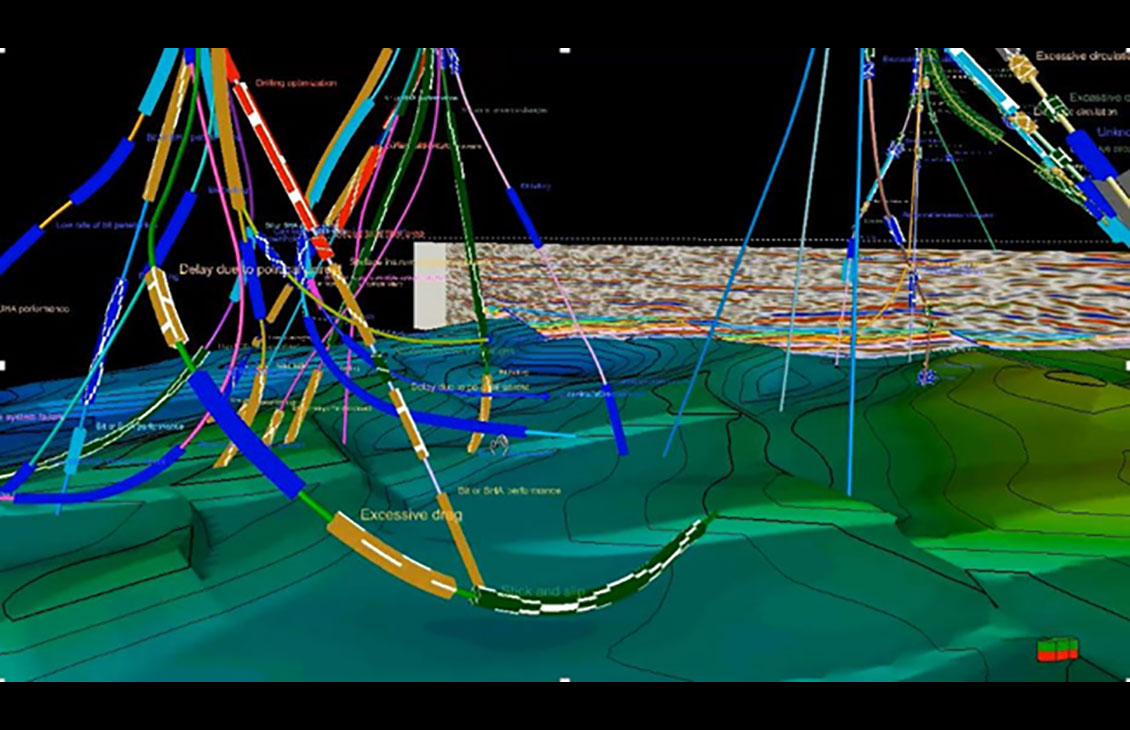
Within the Petrel platform, geoscientists can propose targets based on features within the geological model, and drilling engineers can design single or multiple well paths to position the well accurately in the zone of interest. By capturing and displaying events and risks encountered while drilling previous wells, you can avoid hazard zones while planning the well.
Pad and well placement can be optimized based on various geological and geographical constraints. Real-time monitoring of the well being drilled enables rapid updating of the model, and therefore the planned well, to eliminate or minimize potential risks ahead and maximize reservoir exposure.
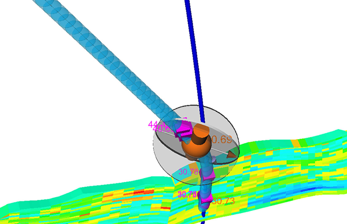
After your wells are planned, you can fine-tune the attributes. Well plans can be adjusted for cost, directional complexity, and platform locations, while the best-fit workflow ensures maximum reservoir contact. You can view all changes in a geological context within a 3D window.
Relief well simulation
The Drillbench blowout control simulator—powered by the Olga multiphase simulator technology—in the Petrel platform gives drilling engineers and well control specialists a powerful, accurate, and reliable tool for planning and analyzing relief wells. The relief well plan validation can be made at the design stage, with rapid evaluation of uncertainty within the parameters. Updates can be made at any time—whether prior to drilling, during drilling, or in post-well reviews.
The Petrel drilling software is now available in the Delfi digital platform
New insights can be gained through the utilization of the secure, cloud-based environment as increased accessibility and flexibility to more science in the GPM software is automatically and instantly at your fingertips.
Petrel core systems
Base configuration, providing an integrated platform for geoscience and reservoir engineering.
Petrel drilling
An integrated environment for geoscience and drilling from well design to geosteering
Petrel geology and modeling
Full suite of tools including petroleum systems modeling, well correlation, mapping, and geocellular modeling
Petrel geophysics
An unparalleled productivity environment, completely scalable with integrated pre- and poststack geophysical workflows
Petrel geomechanics
Integrated 3D and 4D geomechanics modeling and analysis workflows to understand subsurface behavior and plan wells in complex environments.
Petrel reservoir engineering
The collaborative environment for reservoir characterization, development planning, production evaluation, and optimizing reservoir performance.
Petrel unconventionals
Enhance the evaluation, development, and production of unconventional resources
Petrel guru
Quality and capability tool, including in-context guidance, guided and QC workflows, with the ability to capture knowledge and best practices.


