Petrel geophysics
An unparalleled productivity environment, completely scalable with integrated pre- and poststack geophysical workflows
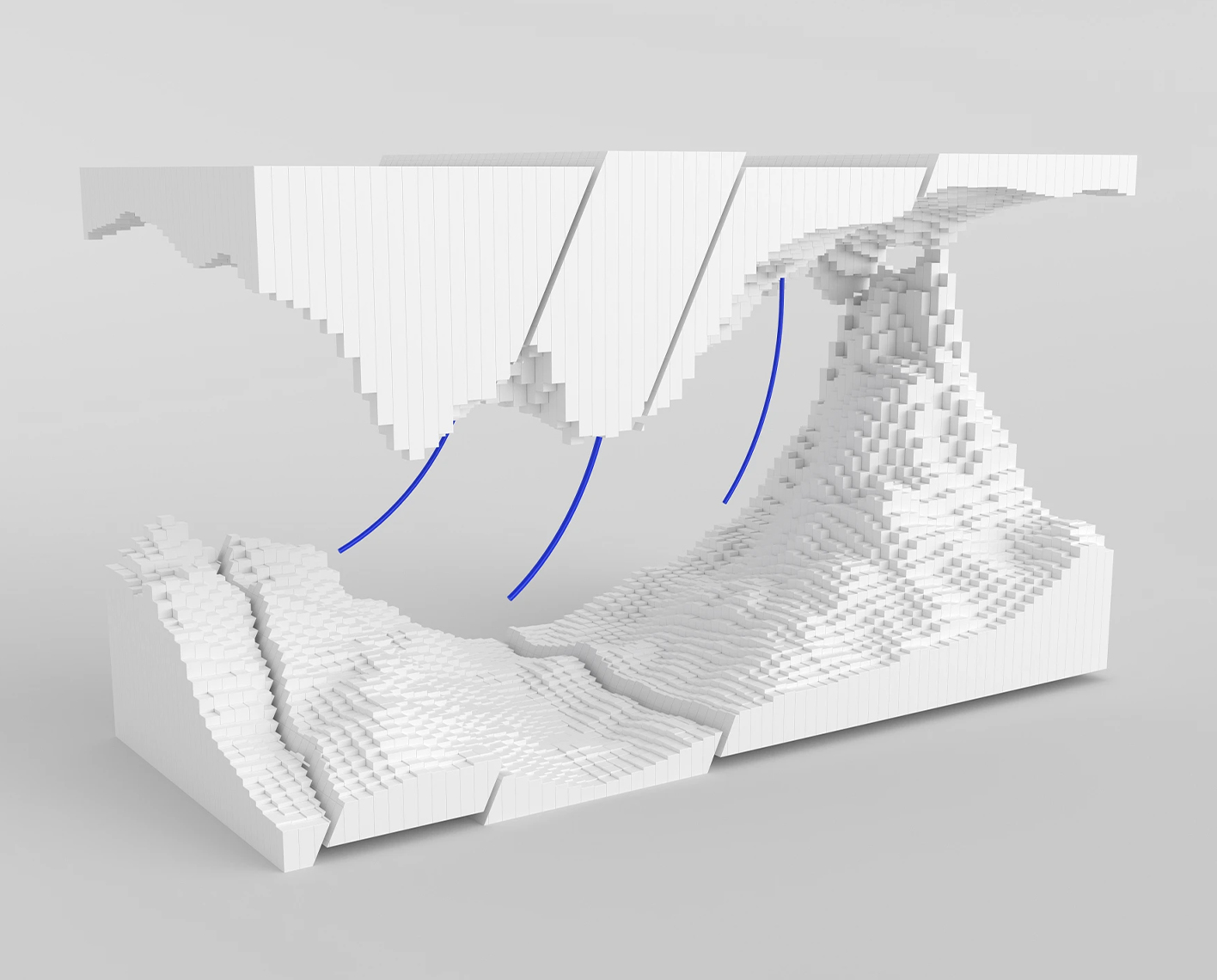
Petrel™ subsurface software provides a full spectrum of geophysical workflows to solve the most complex structural and stratigraphic challenges—from regional exploration to reservoir development scale. Within a unified multiuser collaboration environment, geoscientists can perform 2D, 3D, and prestack seismic interpretation as well as advanced geophysics, microseismic evaluation, 4D seismic simulation, and quantitative interpretation workflows.
Geophysics
-
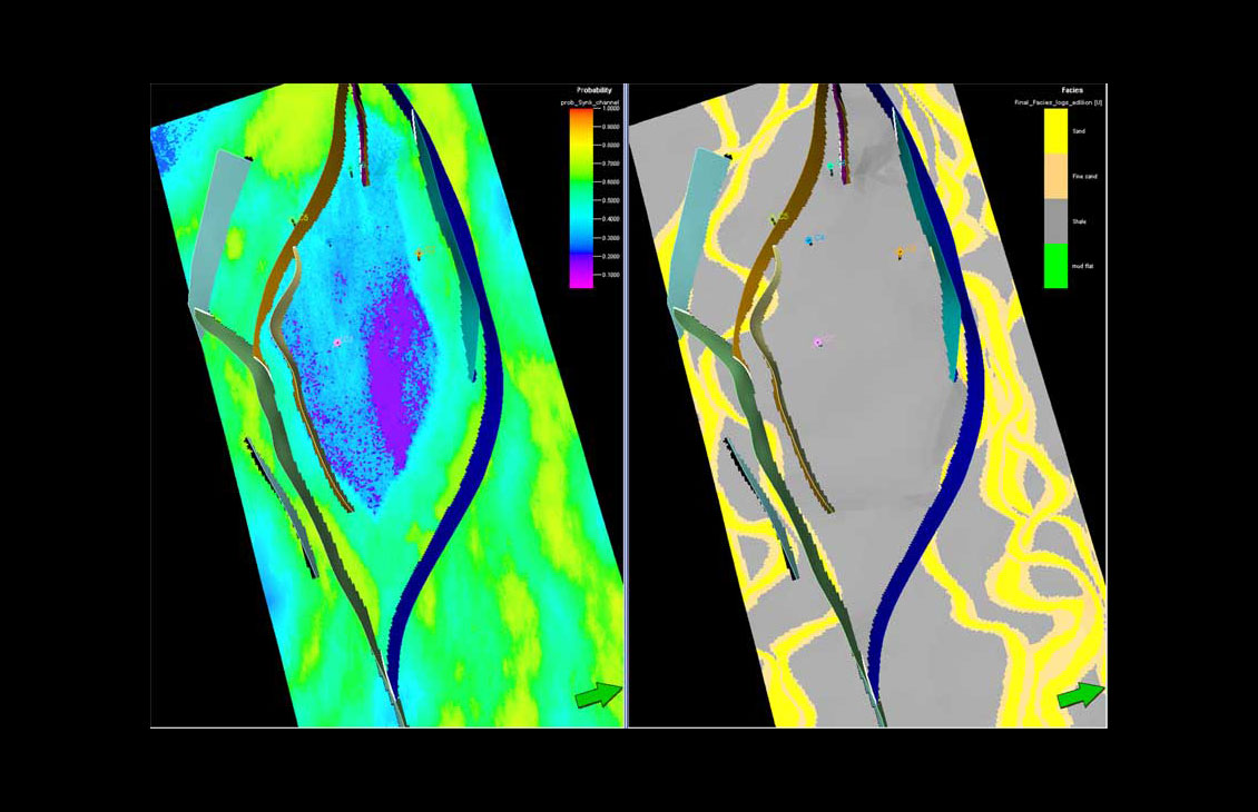
Petrel Classification and Estimation
Advanced train estimation tools and trend modeling.
-
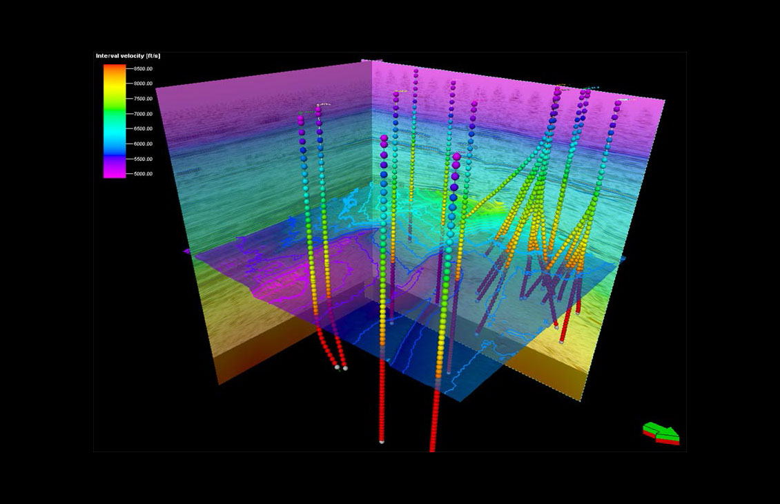
Petrel Domain Conversion
Accurate velocity modeling and domain conversion
-
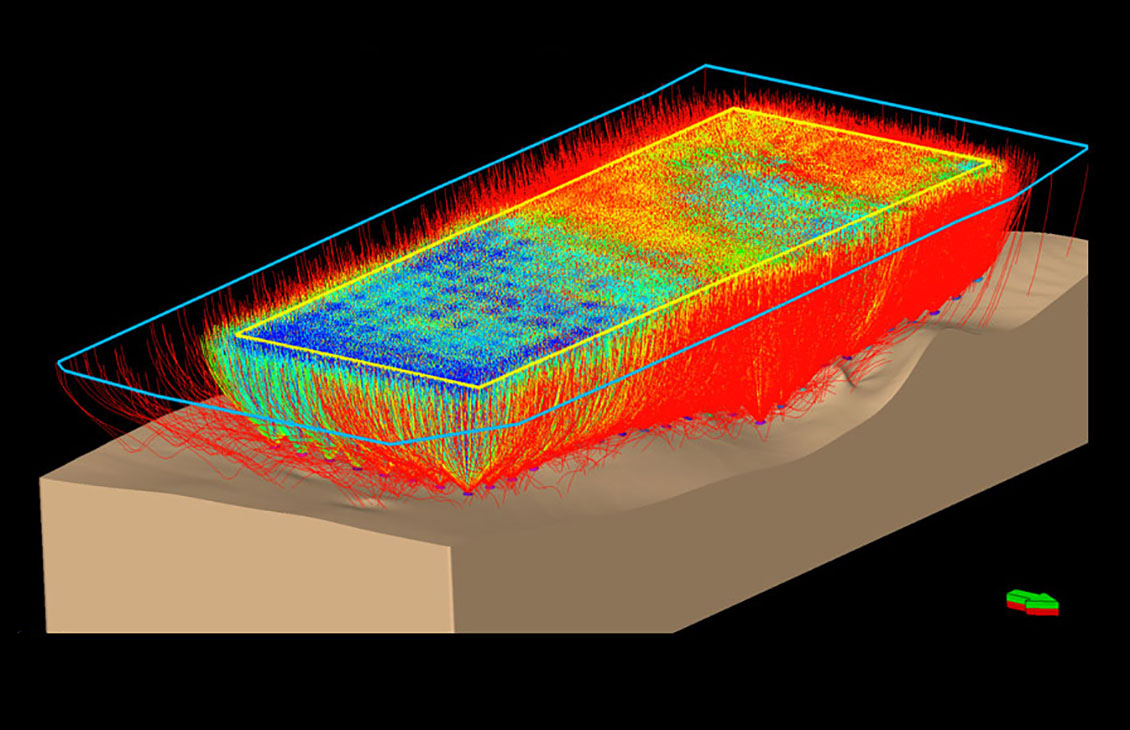
Petrel Earth Model Building
Integrate Omega platform data and extend workflows for a unified, reliable earth model
-
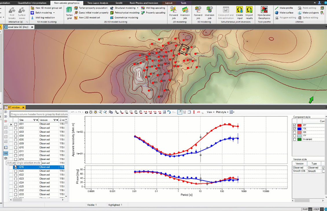
Petrel Multiphysics Plug-In
Integrated processing and modeling capabilities for magnetotelluric, controlled-source electromagnetic, and gravity and magnetic methodologies
-
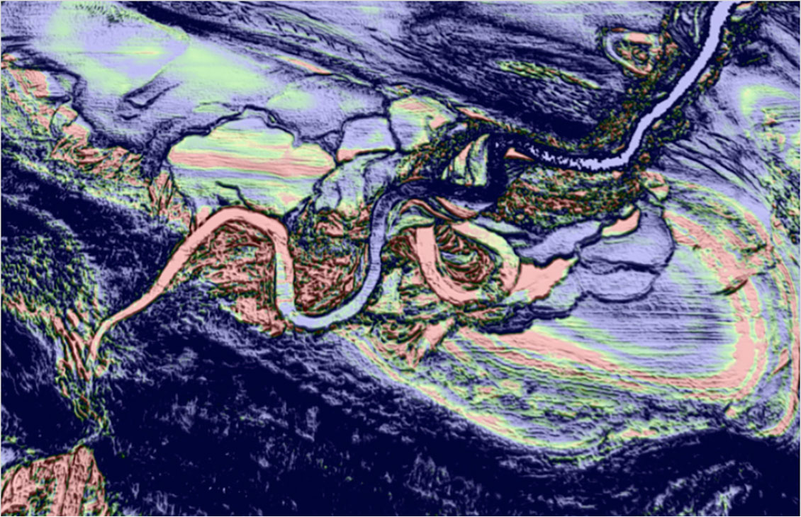
Petrel Multitrace Attributes
Create advanced seismic attributes to condition seismic data for better structural and stratigraphic interpretation tasks as well as enable powerful 3D volume interpretation workflows.
-
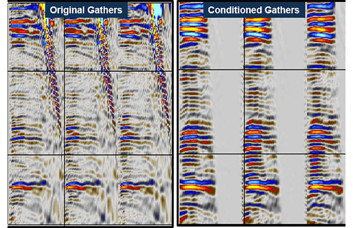
Petrel Prestack Seismic Interpretation Plug-In
Prestack seismic visualization, interpretation, and processing
-
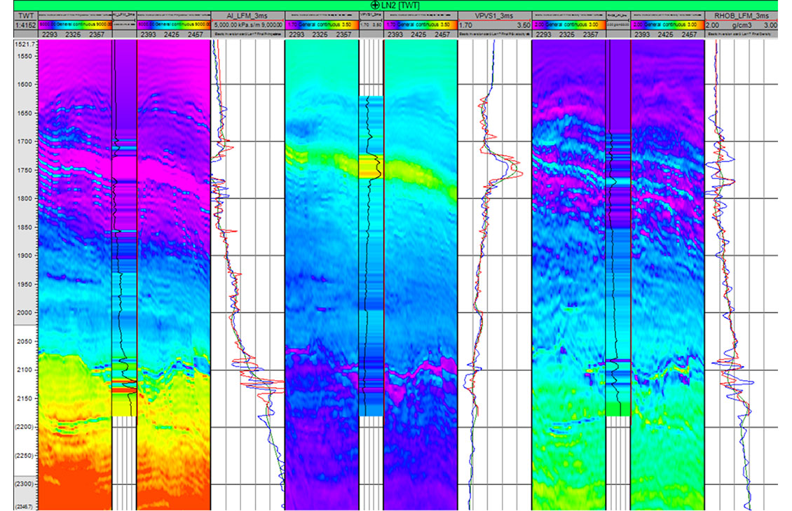
Petrel Quantitative Interpretation
Accurate and comprehensive quantitative interpretation
-
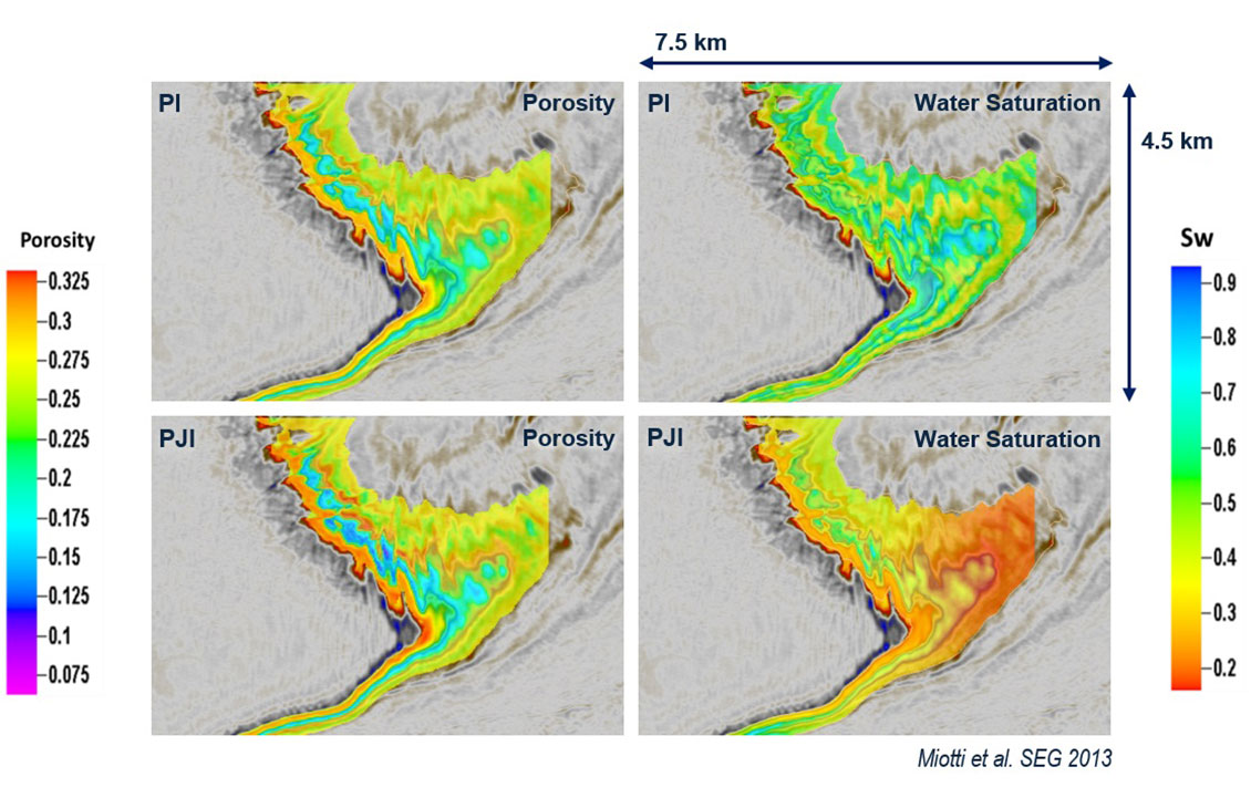
Petrel Rock Physics and Inversion Plug-In
Modeling and inversion tools for advanced, efficient reservoir characterization
-
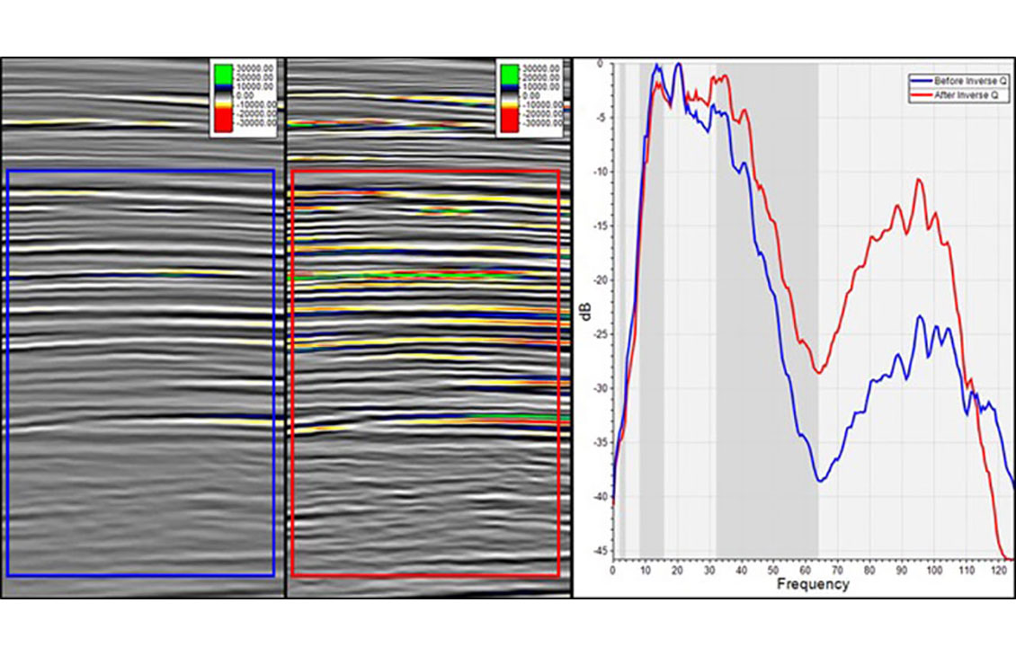
Petrel SeisKit Plug-In
Spectral analysis, filtering, bandwidth extension, and amplitude gain for faster QC and image enhancement in the Petrel platform
-
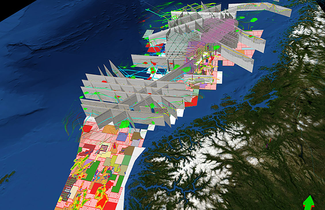
Petrel Seismic Interpretation
A responsive and flexible environment for 3D and 2D interpretation
-
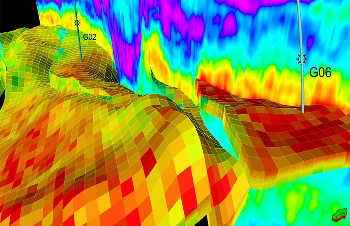
Petrel Seismic Sampling
Resample seismic volumes and geobodies as properties into 3D grids
-
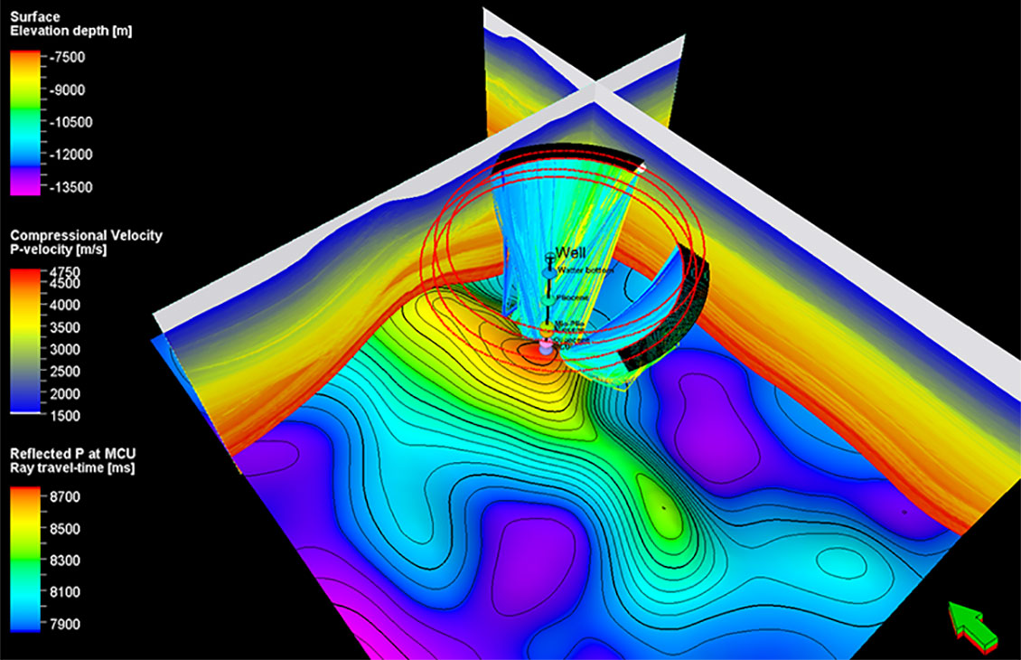
Petrel Seismic Survey Design Plug-In
Seismic survey design and analysisSeismic survey design and analysis
-
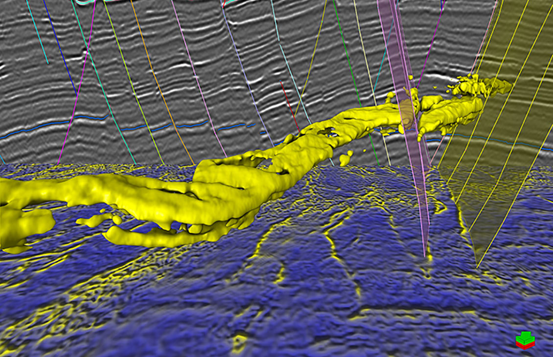
Petrel Seismic Volume Rendering and Extraction
A fast, intuitive, and accurate approach to volume interpretation
-
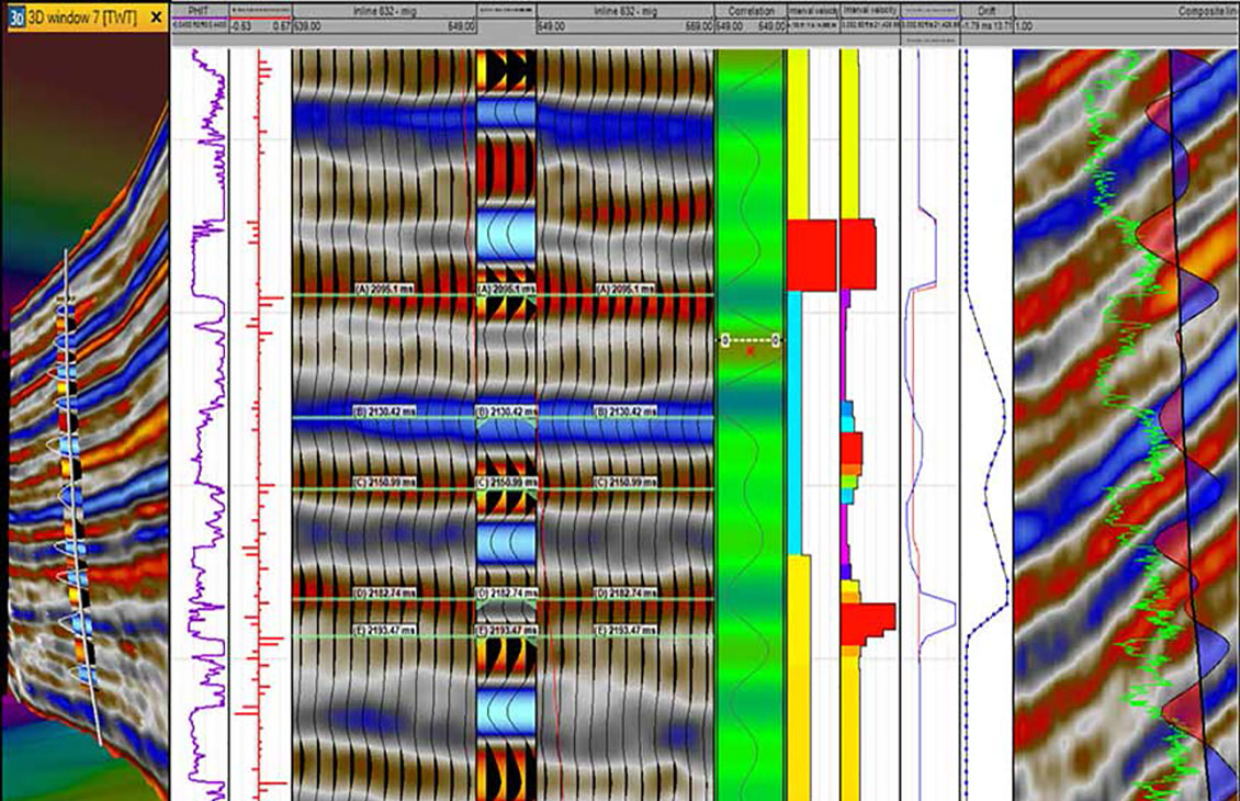
Petrel Seismic Well Tie
Comprehensive and robust seismic well tie
-
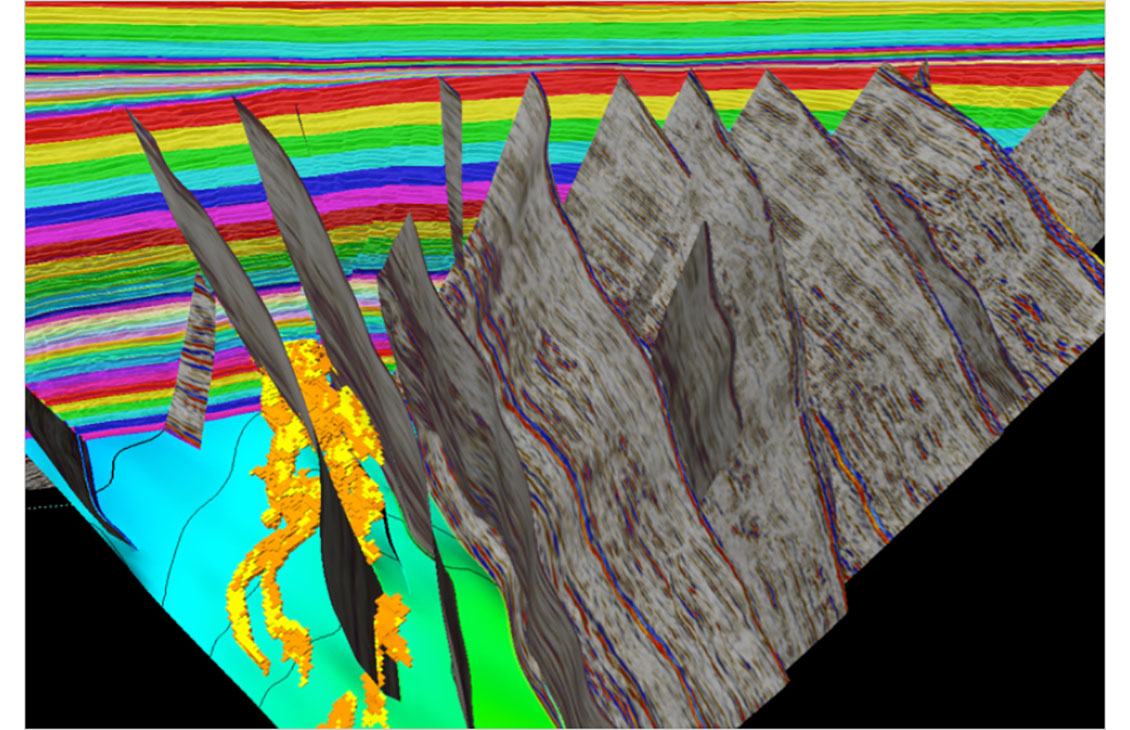
Petrel Structural and Fault Analysis
Analysis of fault sealing capabilities and mapping QC tools
-
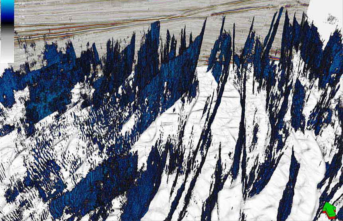
Petrel Structural Interpretation
Fast, accurate structural interpretation workflow that reduces interpretation uncertainty and delivers a confident, validated structural framework of the subsurface
-
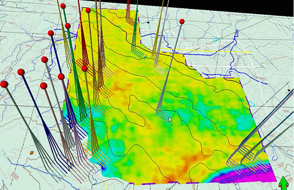
Petrel Surface Imaging
Display scanned maps, attribute maps, seismic time slices, and satellite images, draped over surfaces
Petrel core systems
Base configuration, providing an integrated platform for geoscience and reservoir engineering.
Petrel drilling
An integrated environment for geoscience and drilling from well design to geosteering
Petrel geology and modeling
Full suite of tools including petroleum systems modeling, well correlation, mapping, and geocellular modeling
Petrel geophysics
An unparalleled productivity environment, completely scalable with integrated pre- and poststack geophysical workflows
Petrel geomechanics
Integrated 3D and 4D geomechanics modeling and analysis workflows to understand subsurface behavior and plan wells in complex environments.
Petrel reservoir engineering
The collaborative environment for reservoir characterization, development planning, production evaluation, and optimizing reservoir performance.
Petrel unconventionals
Enhance the evaluation, development, and production of unconventional resources
Petrel guru
Quality and capability tool, including in-context guidance, guided and QC workflows, with the ability to capture knowledge and best practices.
