Unconventional on Delfi
Full range of tools to solve the most complex structural and stratigraphic challenges
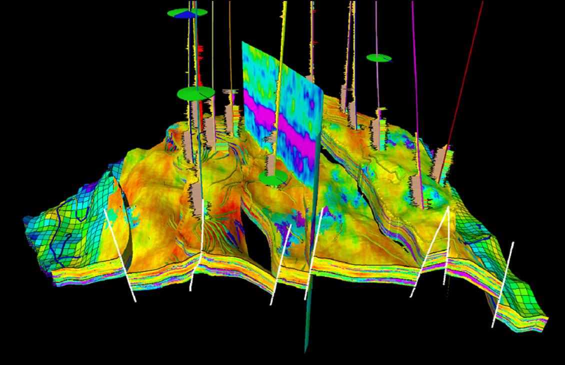
Petrel subsurface software provides a full range of tools to solve the most complex structural and stratigraphic challenges.
The Petrel™ shale suite module is designed for companies working onshore planning and drilling horizontal wells. This module dives three main workflows: geosteering, pad placement, and pad well design. This toolset is specifically designed to improve efficiency for the fast pace of land development.


Geosteering workflow:
Pad placement workflow:
Pad well design workflow:

NExT training courses address the unique needs of each learner. Our courses, led by distinguished experts in their fields, equip learners with the skills to address practical situations and resolve real-world challenges.