Broadband Seismic Processing
Continuously evolving algorithms for optimal deghosting
Extend the bandwidth of your data for any marine acquisition type or technique.

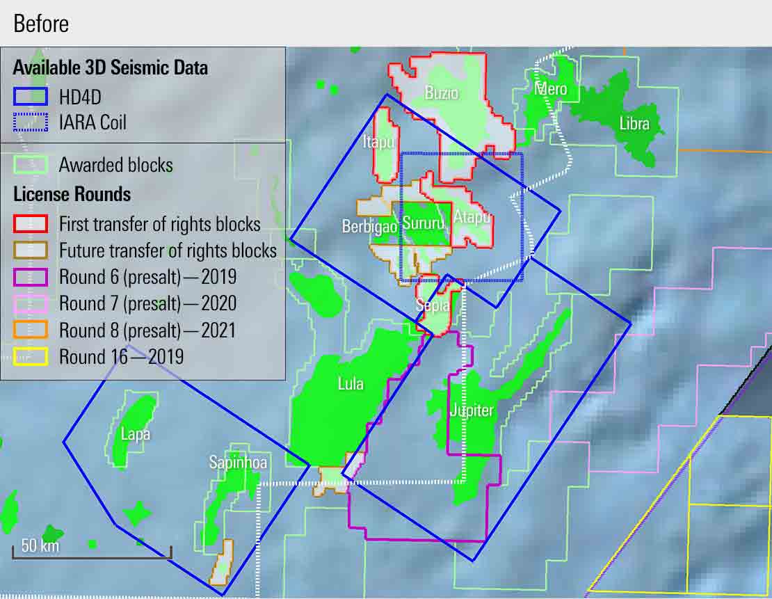
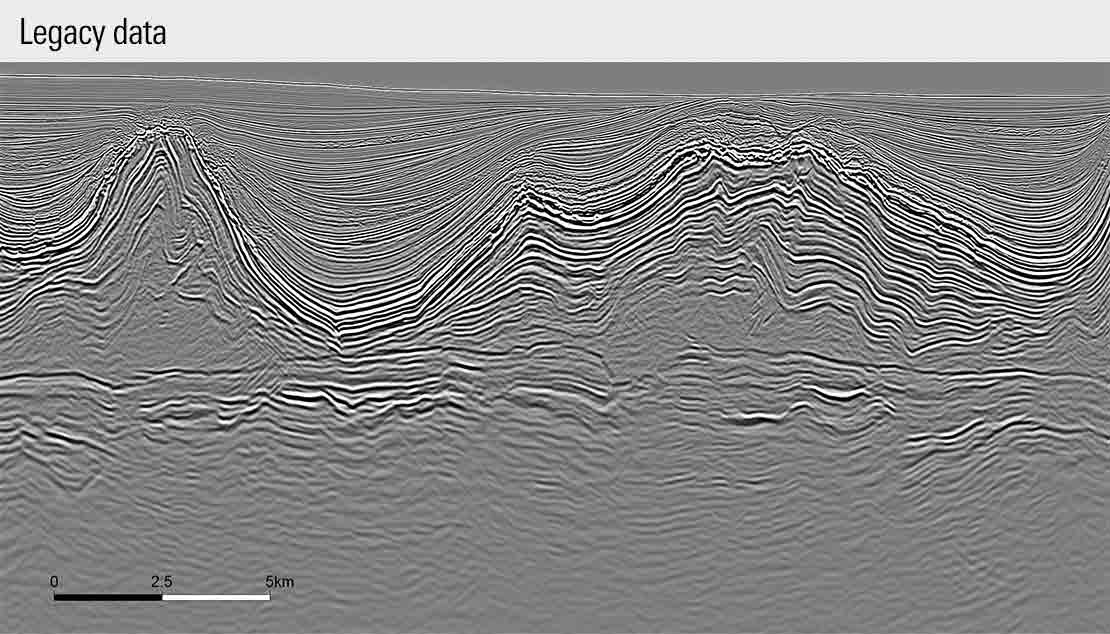
Most datasets of the Central Santos Basin were acquired using 3D narrow-azimuth towed-streamer seismic acquisitions. This type of data has enabled discoveries of large presalt structures but is insufficient in delineating facies variation in carbonate reservoirs as well as potential compartmentalization due to fault presence.
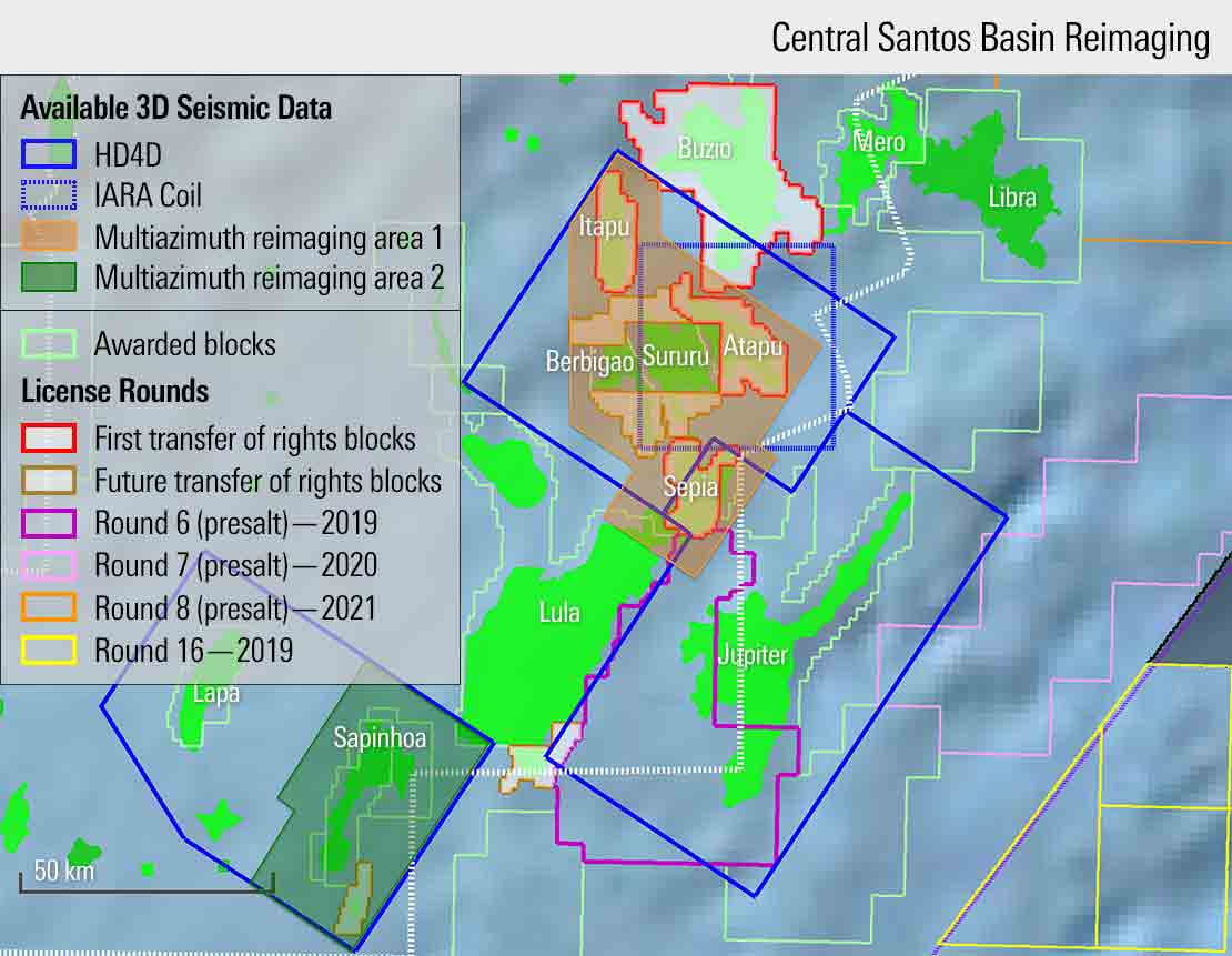
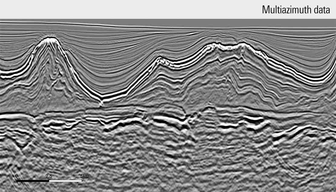
WesternGeco uses industry-leading technology to provide high-quality datasets that help you evaluate the prolific Central Santos Basin and overcome presalt imaging challenges. As part of a reimaging campaign in this highly prospective area, WesternGeco produced the first seamless multiazimuth volume, combining high-definition 3D surveys, full-azimuth coil surveys, and underlying narrow-azimuth (NAZ) surveys. And applying RTM imaging technology delivers an even higher-resolution image to illuminate the subsurface.


We provide an advanced workflow that integrates all available data for robust demultiple and earth model building, enabling you to better understand the complex carbonate reservoir.
Please check your inbox and add the SLB email address to your safelist if needed.