Geosolutions services
Geophysical and geological expertise, technology, and subsurface insight
Geophysical and geological expertise, technology, and subsurface insight—driving risk reduction and performance.
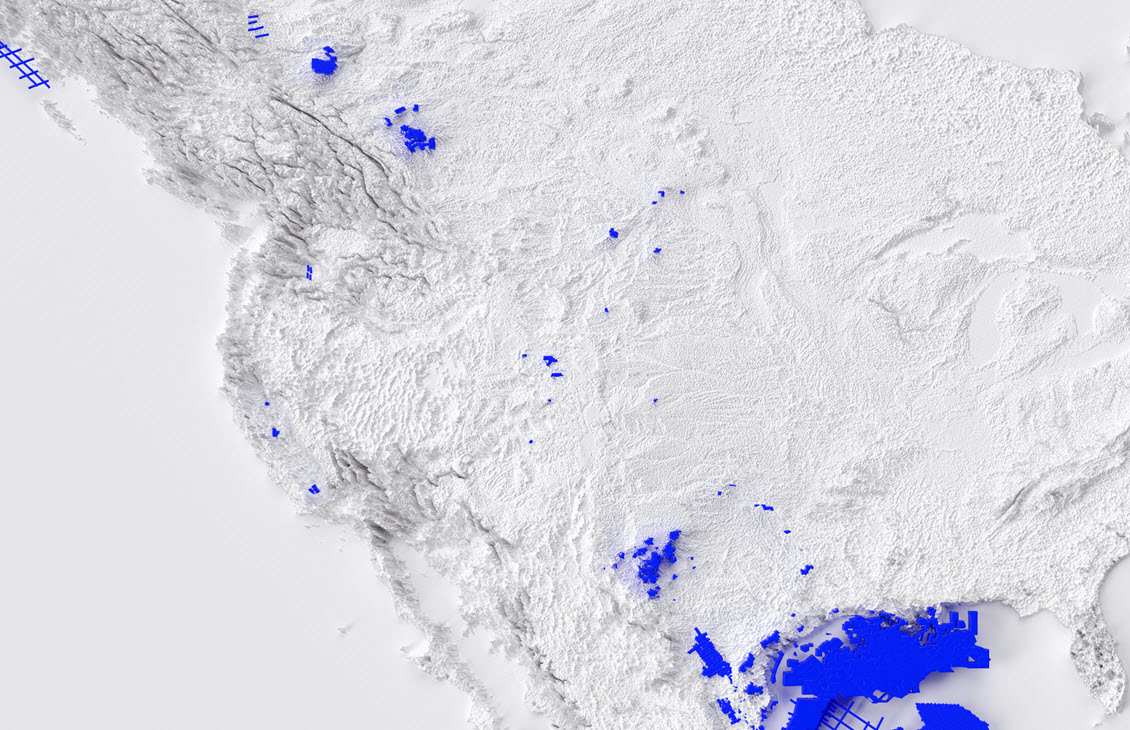

Multiclient seismic data for land exploration in US and Canada

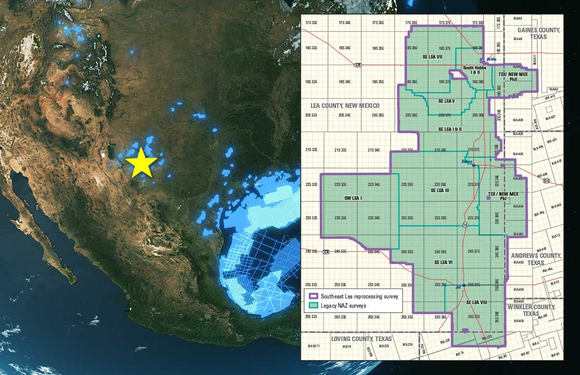
Modern WAZ acquisition in strategic locations of the Permian Basin

Practical innovation that delivers subsurface insights to reduce risk and uncertainty

Data at your fingertips—from basin models for area evaluation, reservoir characterization, divestment decisions, and new energy site evaluations
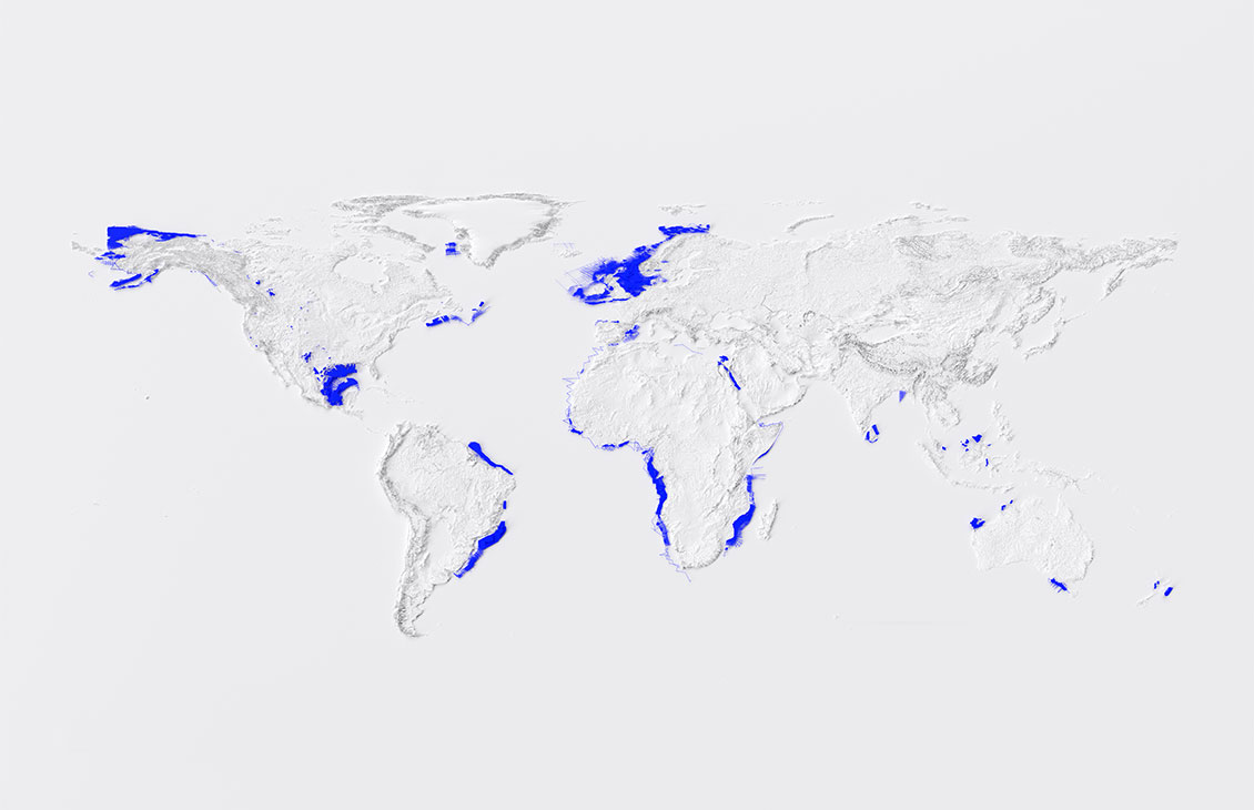
Our extensive library includes regional 2D and 3D seismic data, modern wide azimuth seismic acquisitions with recently acquired high-density full azimuth surveys, and well data to illuminate the subsurface. From exploration through production and new energy projects, we can help you better understand the subsurface to meet your objectives.
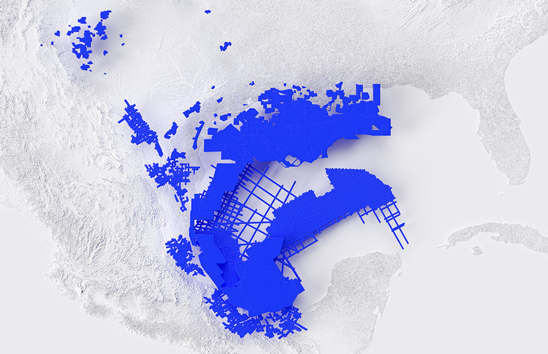
Our multiclient library is constantly evolving and growing with newly acquired and reprocessed 2D and 3D seismic data using advanced imaging technologies. Browse the interactive map to view available multiclient 3D dual-coil acquisitions and 3D WAZ and NAZ, 3D ocean bottom node, and 2D data.
Launch Interactive Map


West Texas and Southeast New Mexico

Texas, Louisiana, Mississippi

Texas, Louisiana, Coast

Alaska
Texas, Oklahoma, Arkansas

Colorado, Wyoming, Montana, Idaho, Utah

Alberta, Sasakawa

The latest in well data, pore pressure prediction, data analogs, and well planning services.

Access to your data on the cloud data discovery and marketplace platform.

Seismic data for carbon capture and sequestration (CCS) and container modeling and evaluation.
We provide subsurface data and solutions for

Want more access to SLB content you can’t get anywhere else? Sign up to access free premium content, such as technical papers, presentations, and more.