WinGLink
Geophysical interpretation software

WinGLink is a multidisciplinary software program developed to process, interpret, and integrate several geophysical disciplines in a unified and integrated environment.
Primarily focused on magnetotelluric data processing and modeling, for which it is the recognized worldwide industry standard, WinGLink includes processing and modeling applications for gravity and magnetic data as well as the capability to post information from vertical or deviated wells on maps and cross-sections to add model constraints
WinGLink uses a common graphic interface for database creation, project generation, coordinate conversion, data and model import and export, and application launch. Each application includes dedicated features for each geophysical data type.

Customize a class to fit your schedule.
Our hands-on Geosolutions software training can be customized to your needs.
Contact Us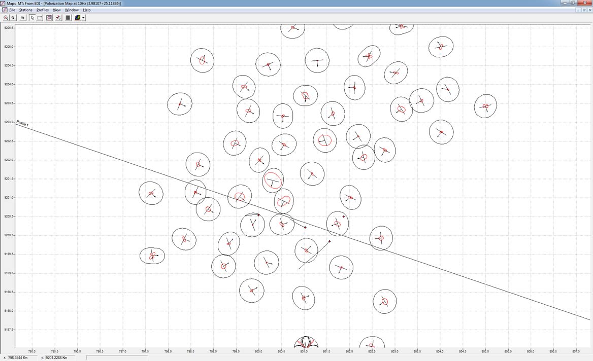
Supported domains and workflows
WinGlink covers the nonseismic geophysical interpretation workflow, from field data acquisition to the modeling of multiple domains. The supported domains are magnetotellurics (MT), time-domain electromagnetics (TDEM), and DC resistivity for what concerns EM and gravity and magnetic for potential fields. Wells and cultural data are also available.
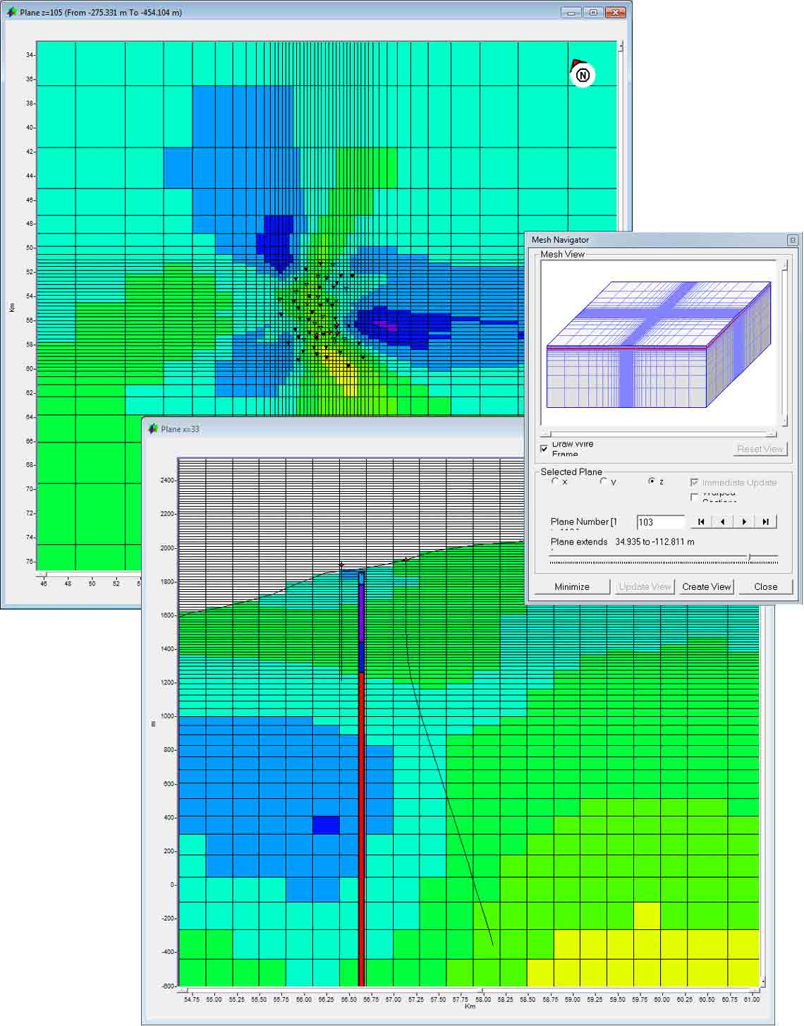
The MT method supports the full workflow from data visualization and preconditioning to 1D and 2D forward and inversion modeling. The 3D MT modeling module provides all the necessary tools to build, refine, and populate the 3D resistivity mesh that is used by the 3D finite-difference forward-modeling engine to compute the synthetic MT soundings. The forward-modeling engine is designed to run on a Windows desktop system.
For the controlled-source EM (CSEM), TDEM, and DC resistivity methods, WinGLink provides data visualization and preconditioning tools and 1D modeling capabilities.
Gravity and magnetics methods are covered by data analysis workflow (filtering, derivatives, and transforms) and by an interactive 2.5D forward and inversion modeling tool.
Features
WinGLink provides access to the domain’s data through a set of modules with a shared look and feel and integrating data into a unique interpretation layer.
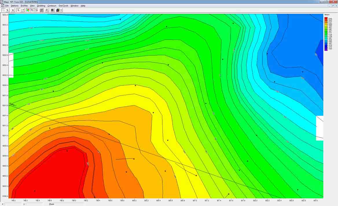
Maps
Display surfaces and extract domain-specific data attributes.
Sounding
Display, edit, and perform the 1D modeling workflow of MT, CSEM, TDEM, and DC stations.
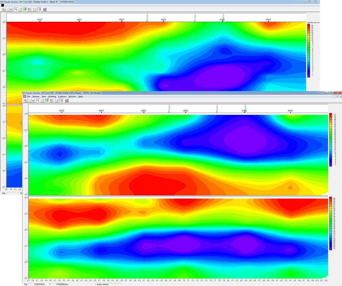
P-Sections
Create and display MT and CSEM attribute pseudosections for observed, simulated, and normalized data.
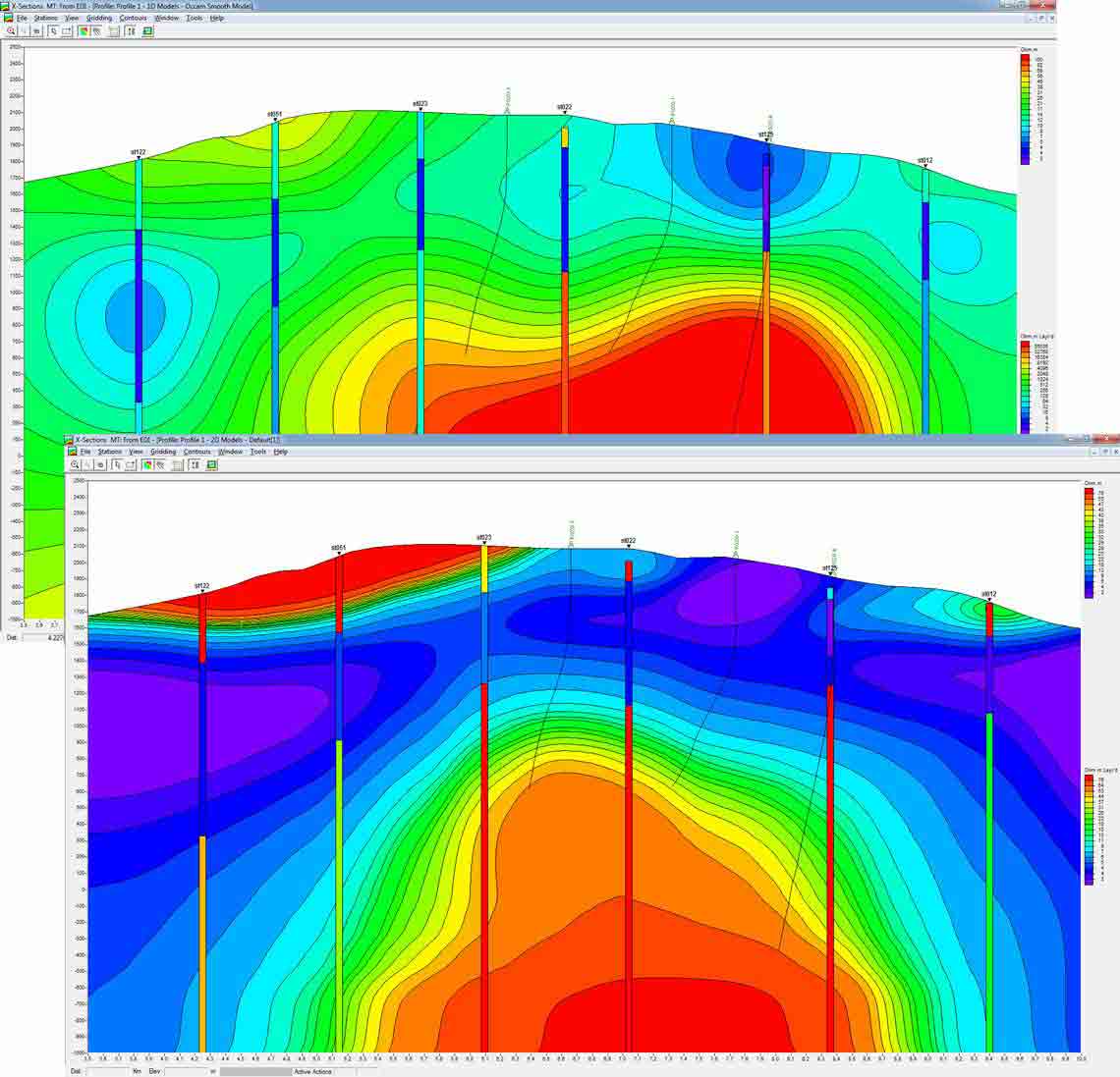
X-Sections
Integrate wells information with 1D, 2D, and 3D modeled resistivity distribution.
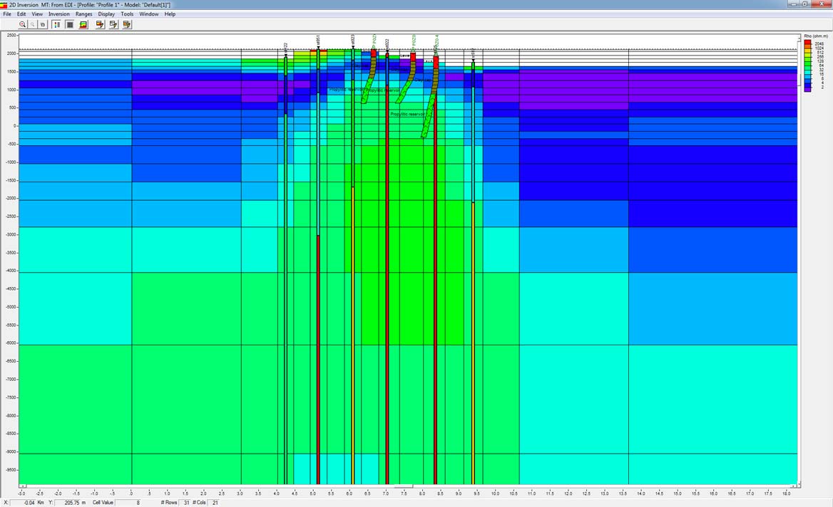
2D modeling
Run interactive 2D modeling for MT, gravity, and magnetic domains.
3D modeling
Build a 3D resistivity distribution model and run the 3D forward modeling on your Windows machine.
Interpreted views
Efficiently present data, models, and result interpretation in a unique and complete report.
Tools
Obtain support for the field acquisition of MT, time domain, and gravity data.
How to Purchase
A WinGLink license supports diverse geophysical disciplines in an integrated package.
A USB dongle, preprogrammed for licensed modules, is required to run the WinGLink package. The program can be installed and run without the dongle but only in demo mode (for viewing and using databases but without the options of creating, saving, or printing).
WinGLink installation programs and upgrades can be downloaded directly from our Support Portal.
For more details on how to purchase WinGLink, contact us.
