SWAMI
Surface wave analysis, modeling, and inversion
Combine multiple geophysical and geological measurements to improve reservoir characterization.

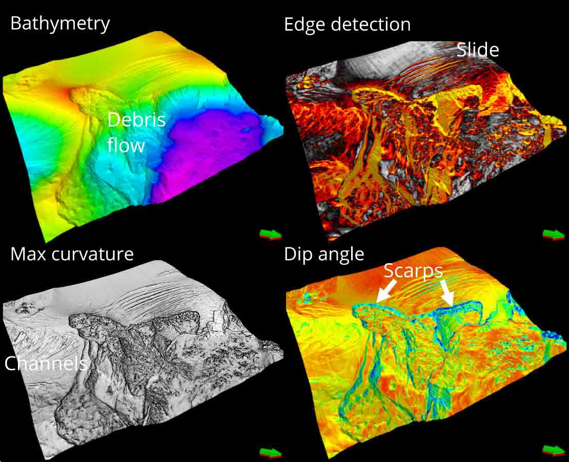
We use a range of data analyses techniques, including stratigraphic evaluation, attribute analysis, and prestack seismic inversion to delineate geohazards. High-resolution pore pressure volumes can also be produced to complement the 3D structural imaging and quantify geohazards.
